Chaddesden, Derby
Map

Map

Facts and practical information
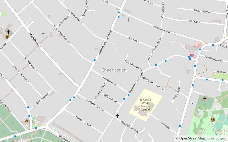
Chaddesden, also known locally as Chadd, is a large residential suburb of Derby, United Kingdom. Historically a separate village centred on Chaddesden Hall and the 14th century St Mary's Church, the area was significantly expanded by 20th-century housing developments, and was incorporated into Derby in 1968. ()
Coordinates: 52°55'46"N, 1°26'25"W
Address
ChaddesdenDerby
ContactAdd
Social media
Add
Day trips
Chaddesden – popular in the area (distance from the attraction)
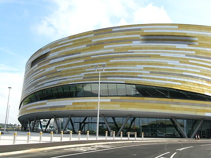
Nearby attractions include: County Cricket Ground, Pride Park Stadium, Derby Arena, Holy Trinity Church.
Frequently Asked Questions (FAQ)
Which popular attractions are close to Chaddesden?
Nearby attractions include St Mary's Church, Derby (8 min walk), St Mark's Church, Derby (15 min walk), County Cricket Ground, Derby (23 min walk).
How to get to Chaddesden by public transport?
The nearest stations to Chaddesden:
Bus
Train
Bus
- Northwood Avenue • Lines: 26 (2 min walk)
- Arridge Road • Lines: 20 (3 min walk)
Train
- Derby (34 min walk)


