Holborn Viaduct, London
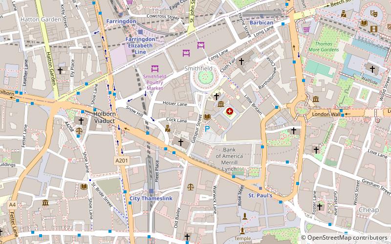
Map
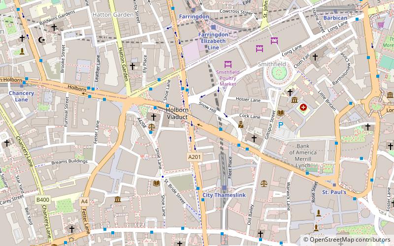
Map

Facts and practical information
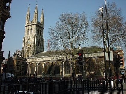
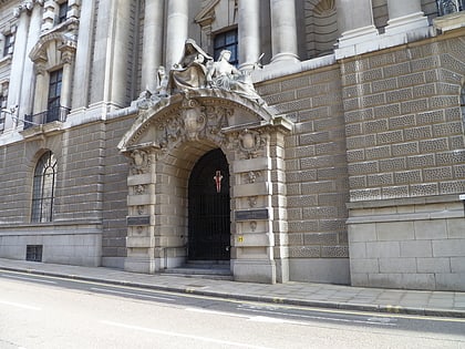
Holborn Viaduct is a road bridge in London and the name of the street which crosses it. It links Holborn, via Holborn Circus, with Newgate Street, in the City of London financial district, passing over Farringdon Street and the subterranean River Fleet. The viaduct spans the steep-sided Holborn Hill and the River Fleet valley at a length of 1,400 feet and 80 feet wide. City surveyor William Haywood was the architect and the engineer was Rowland Mason Ordish. ()
Address
City of London (Farringdon Without)London
ContactAdd
Social media
Add
Day trips
Holborn Viaduct – popular in the area (distance from the attraction)
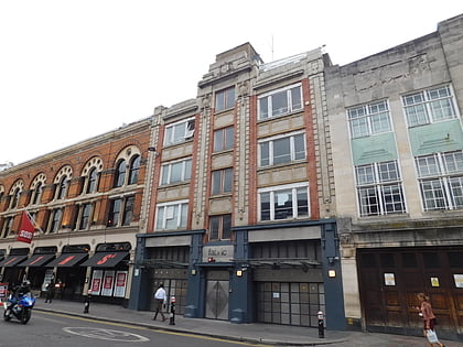
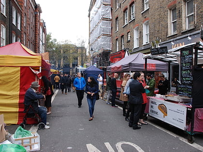
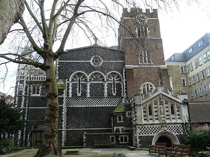
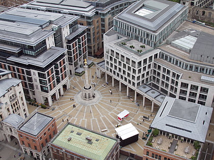
Nearby attractions include: Fabric, Leather Lane, St Bartholomew-the-Great, Paternoster Square.
Frequently Asked Questions (FAQ)
Which popular attractions are close to Holborn Viaduct?
Nearby attractions include City Temple, London (2 min walk), St Andrew Holborn, London (3 min walk), St Sepulchre-without-Newgate, London (3 min walk), Golden Boy of Pye Corner, London (4 min walk).
How to get to Holborn Viaduct by public transport?
The nearest stations to Holborn Viaduct:
Bus
Train
Metro
Ferry
Light rail
Bus
- City Thameslink Station • Lines: 25, 8, N242, N25, N8 (2 min walk)
- Holborn Circus • Lines: N242 (3 min walk)
Train
- City Thameslink (4 min walk)
- London Blackfriars (12 min walk)
Metro
- Farringdon • Lines: Circle, Hammersmith & City, Metropolitan (6 min walk)
- St. Paul's • Lines: Central (7 min walk)
Ferry
- Blackfriars Pier • Lines: Rb6 (13 min walk)
- Bankside Pier • Lines: Green Tour, Rb1, Rb1X, Rb2 (18 min walk)
Light rail
- Bank Platform 10 • Lines: B-L, B-Wa (21 min walk)

 Tube
Tube