Brighton and Hove Reform Synagogue, Brighton
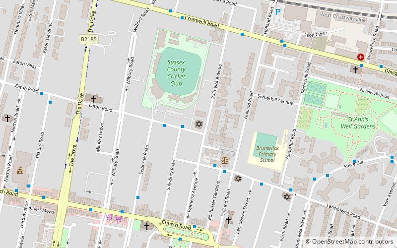
Map

Gallery

Facts and practical information
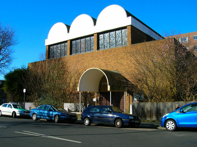
Brighton and Hove Reform Synagogue is a synagogue in Hove, Sussex, England. It has 500 adult members. ()
Coordinates: 50°49'47"N, 0°9'46"W
Day trips
Brighton and Hove Reform Synagogue – popular in the area (distance from the attraction)
Nearby attractions include: Adelaide Crescent, 11 Dyke Road, Palmeira Square, Montpelier Place Baptist Church.
Frequently Asked Questions (FAQ)
Which popular attractions are close to Brighton and Hove Reform Synagogue?
Nearby attractions include Sussex County Cricket Ground, Brighton (3 min walk), Holland Road Baptist Church, Brighton (5 min walk), Palmeira Square, Brighton (6 min walk), All Saints Church, Brighton (6 min walk).
How to get to Brighton and Hove Reform Synagogue by public transport?
The nearest stations to Brighton and Hove Reform Synagogue:
Bus
Train
Bus
- Cricket Ground • Lines: 21A (2 min walk)
- Law Courts • Lines: 21A (3 min walk)
Train
- Hove (14 min walk)
- Aldrington (25 min walk)


