Kepier Haughs, Durham
Map
Map

Facts and practical information
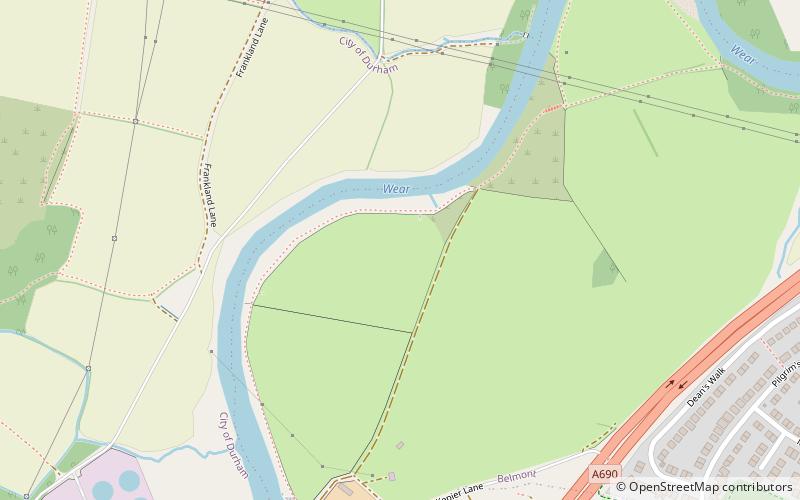
Kepier Haughs is a haugh located to the north of Kepier Hospital in Durham, England. It has been used as a rifle range and a sports field, as well as hosting a brick works. It was the home ground of Durham City football club between 1920 and 1923. ()
Coordinates: 54°47'14"N, 1°33'40"W
Address
Durham
ContactAdd
Social media
Add
Day trips
Kepier Haughs – popular in the area (distance from the attraction)
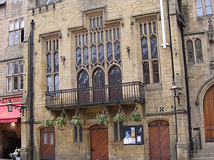
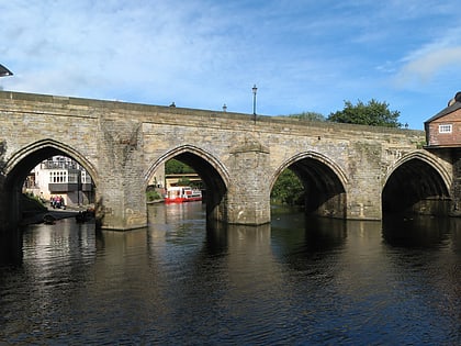
Nearby attractions include: Durham Cathedral, Durham Castle, Durham Town Hall, Elvet Bridge.
Frequently Asked Questions (FAQ)
Which popular attractions are close to Kepier Haughs?
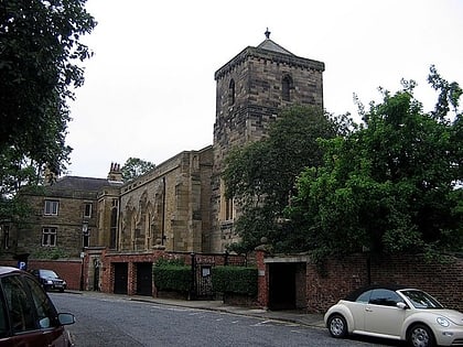
Nearby attractions include Gilesgate, Durham (15 min walk), Crook Hall, Durham (17 min walk), St Giles Church, Durham (17 min walk), College of St Hild and St Bede, Durham (19 min walk).
How to get to Kepier Haughs by public transport?
The nearest stations to Kepier Haughs:
Bus
Train
Bus
- The Chains-Woodman • Lines: 64 (17 min walk)
- Belmont link road • Lines: X20 (17 min walk)
Train
- Durham (25 min walk)


