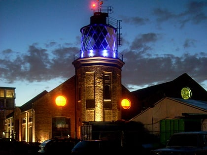
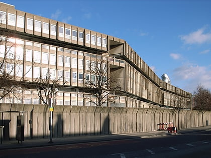
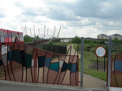
East India Dock Basin, London
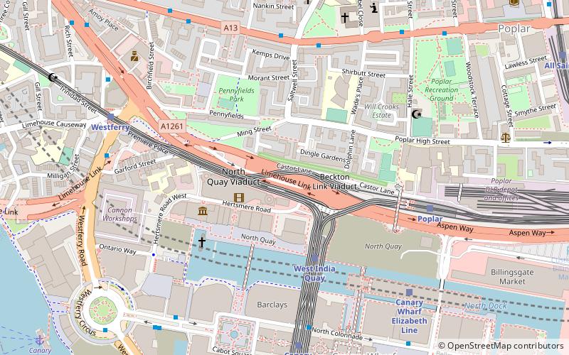
Map
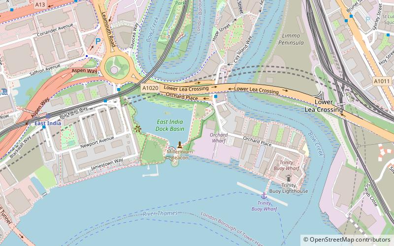
Map

Facts and practical information
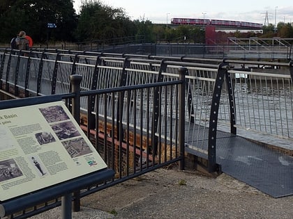
The East India Docks were a group of docks in Blackwall, east London, north-east of the Isle of Dogs. Today only the entrance basin and listed perimeter wall remain visible. ()
Built: 1803 (223 years ago)Demolished: 1967Elevation: 20 ft a.s.l.Coordinates: 51°30'33"N, 0°0'16"E
Day trips
East India Dock Basin – popular in the area (distance from the attraction)
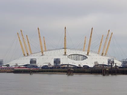
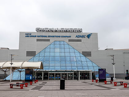
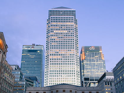
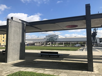
Nearby attractions include: The O2, ExCeL London, One Canada Square, Royal Victoria Square.
Frequently Asked Questions (FAQ)
Which popular attractions are close to East India Dock Basin?
Nearby attractions include Bow Creek Ecology Park, London (5 min walk), Trinity Buoy Wharf, London (6 min walk), A Slice of Reality, London (11 min walk), The O2, London (12 min walk).
How to get to East India Dock Basin by public transport?
The nearest stations to East India Dock Basin:
Bus
Light rail
Metro
Train
Ferry
Bus
- Leamouth / Orchard Place • Lines: D3 (2 min walk)
- Abbott Road • Lines: 309 (10 min walk)
Light rail
- East India Platform 1 • Lines: B-Wa, Tg-B (7 min walk)
- Canning Town Platform 4 • Lines: B-Wa, Tg-B (10 min walk)
Metro
- Canning Town • Lines: Jubilee (10 min walk)
- North Greenwich • Lines: Jubilee (15 min walk)
Train
- Canning Town (10 min walk)
Ferry
- North Greenwich Pier • Lines: Rb1, Rb1X, Rb5 (14 min walk)
- Royal Wharf • Lines: Rb1, Rb5 (31 min walk)
 Tube
Tube