Pillar of Salt, Bury St Edmunds
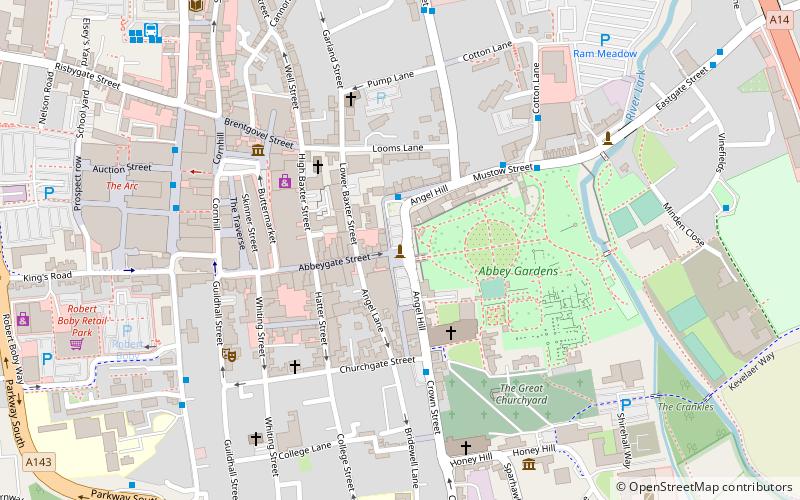
Map

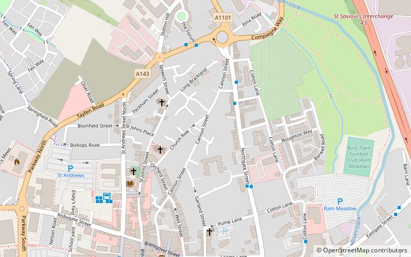
Map

Facts and practical information
Pillar of Salt is the name of a Grade II listed road sign on Angel Hill, Bury St Edmunds, Suffolk, England. It was listed in 1998, when it was described as being "individual and probably unique". According to the plaque set at the foot of the sign, it is thought to be the first internally illuminated road sign in the country. Designed by Basil Oliver, architect to Bury St. Edmunds Town Council in 1935, it had to be granted special permission because the height of the letters and numbers did not conform to regulations. ()
Coordinates: 52°14'42"N, 0°42'57"E
Address
Bury St Edmunds
ContactAdd
Social media
Add
Day trips
Pillar of Salt – popular in the area (distance from the attraction)
Nearby attractions include: St Edmundsbury Cathedral, Abbey Gardens, The Nutshell, St Mary's Church.
Frequently Asked Questions (FAQ)
Which popular attractions are close to Pillar of Salt?
Nearby attractions include St Edmundsbury Cathedral, Bury St Edmunds (3 min walk), Abbey Gardens, Bury St Edmunds (4 min walk), Bury St Edmunds Guildhall, Bury St Edmunds (5 min walk), St Mary's Church, Bury St Edmunds (5 min walk).
How to get to Pillar of Salt by public transport?
The nearest stations to Pillar of Salt:
Bus
Train
Bus
- Cotton Lane • Lines: M33 (4 min walk)
- St Andrews Street, Arc • Lines: 753, M11, M22, M33, M55, M88 (6 min walk)
Train
- Bury St Edmunds (16 min walk)


