Clermiston, Edinburgh
Map

Map

Facts and practical information
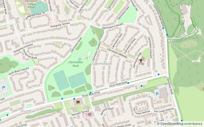
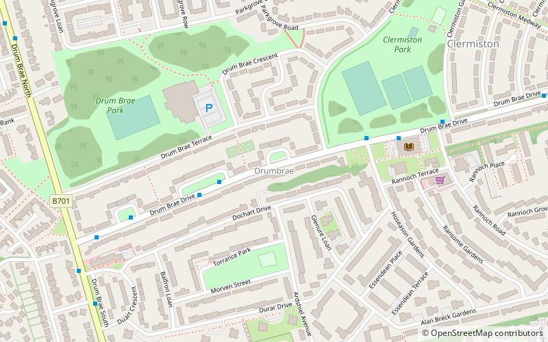
Clermiston is a suburb of Edinburgh, Scotland, to the west of the city and to the immediate north of Corstorphine, on the western slopes of Corstorphine Hill. Clermiston estate, built in 1954, was part of a major 1950s house-building programme to tackle overcrowding in Leith and Gorgie. The area is now home to more than 20,000 people, and abuts onto Drumbrae, Clerwood and Corstorphine. ()
Coordinates: 55°57'26"N, 3°17'6"W
Address
ClermistonEdinburgh
ContactAdd
Social media
Add
Day trips
Clermiston – popular in the area (distance from the attraction)
Nearby attractions include: Edinburgh Zoo, Lauriston Castle, Corstorphine Hill, Craigcrook Castle.
Frequently Asked Questions (FAQ)
Which popular attractions are close to Clermiston?
Nearby attractions include Drumbrae, Edinburgh (8 min walk), Barnton Quarry, Edinburgh (9 min walk), Buttercup Farm Park, Edinburgh (13 min walk), Corstorphine Hill, Edinburgh (15 min walk).
How to get to Clermiston by public transport?
The nearest stations to Clermiston:
Bus
Bus
- Clermiston View • Lines: 1, 200, 21, 26 (3 min walk)
- Drum Brae Hub • Lines: 1, 200, 21, 26 (4 min walk)


