Church of St Mary, Exmoor National Park
#47 among attractions in Exmoor National Park
![Church of St Mary location map](https://tzmedia.b-cdn.net/media/images/static-maps/gb/51_1894_-3_5593.jpg)
Facts and practical information
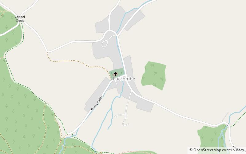
The parish Church of St Mary in Luccombe, Somerset, England has a chancel dating from about 1300, with the nave and tower being added around 1450. It has been designated as a Grade I listed building. ()
Exmoor National Park United Kingdom
Exmoor National Park plan & book
Unleash the traveler in you — discover the cheapest flight deals, find the perfect hotel or hostel nearby, and search for the best car rental prices. Travel at your own pace to discover new places and enjoy your journey.
Church of St Mary – popular in the area (distance from the attraction)
Nearby attractions include: Coleridge Way, Church of All Saints, Dunkery Hill, Scheduled monuments in West Somerset.
1.6 miNWHiking, Hiking trailColeridge Way, Porlock
41 min walk • The Coleridge Way is a 51-mile footpath in Somerset and Devon, England. It was opened in April 2005, and the route links several sites associated with the poet Samuel Taylor Coleridge starting from Coleridge Cottage at Nether Stowey.
1.5 miNChurch, Historical placeChurch of All Saints, Exmoor National Park
39 min walk • The Church of All Saints which sits on a hillside above Selworthy, Somerset, England is a whitewashed 15th-century Church, with a 14th-century tower. It has been designated by English Heritage as a Grade I listed building. The pulpit includes a 17th-century hourglass and the iron-bound parish chest dates from the same time.
2.2 miSWArchaeological siteDunkery Hill, Porlock
56 min walk • Dunkery Beacon at the summit of Dunkery Hill is the highest point on Exmoor and in Somerset, England. It is also the highest point in southern England outside of Dartmoor.
1.8 miNArchaeological siteScheduled monuments in West Somerset, Exmoor National Park
47 min walk • West Somerset was a local government district in the English county of Somerset. It merged with Taunton Deane to form Somerset West and Taunton on 1 April 2019.
2 miNWChurchChurch of St Dubricius, Porlock
53 min walk • The Church of St Dubricius in Porlock, Somerset, England dates from the 13th century. The church has been designated by English Heritage as a Grade I listed building. The dedication is to Dubricius, a 6th-century Briton ecclesiastic venerated as a saint and may indicate he travelled to the area.
2 miNWHistory museum, MuseumDovery Manor Museum, Porlock
52 min walk • Dovery Manor Museum, also known as Porlock Museum, is a local museum in Porlock, Somerset, England. The building was built as a Manor house in the late 15th century and extended in the 17th century.
2.1 miWChurchStoke Pero Church, Exmoor National Park
55 min walk • Stoke Pero Church in Stoke Pero, Somerset, England was built in the 13th century. It is a Grade II* listed building. Standing 1013 feet above sea level, it is the highest church on Exmoor.
3.7 miENightlifeKildare Lodge, Minehead
94 min walk • The Kildare Lodge Inn in Minehead, Somerset, England, was built in 1905/6, and is located at 18 Townsend Road, to the south east of the town centre of the seaside resort of Minehead. Originally built as a house, incorporating a doctor's surgery, coach house and stables; it is now used as a pub.
2.1 miNChurchLynch Chapel Of Ease, Exmoor National Park
53 min walk • The Anglican Lynch Chapel Of Ease in West Lynch, Selworthy, Somerset, England was built around 1530. It is a Grade II* listed building.
1.7 miNForts and castlesBury Castle, Exmoor National Park
44 min walk • Bury Castle is an Iron Age hill fort near Selworthy, Somerset, England. It has been scheduled as an ancient monument.
1.8 miSWForts and castlesSweetworthy, Exmoor National Park
47 min walk • Sweetworthy is the site of two Iron Age hill forts or enclosures at Luccombe, 4 kilometres south of Porlock, Somerset, England. They are on the north-facing slope of Dunkery Hill. One has a single rampart and external ditch, enclosing 0.25 hectares. The rampart is still visible and the ditch on the east side is used as a trackway.