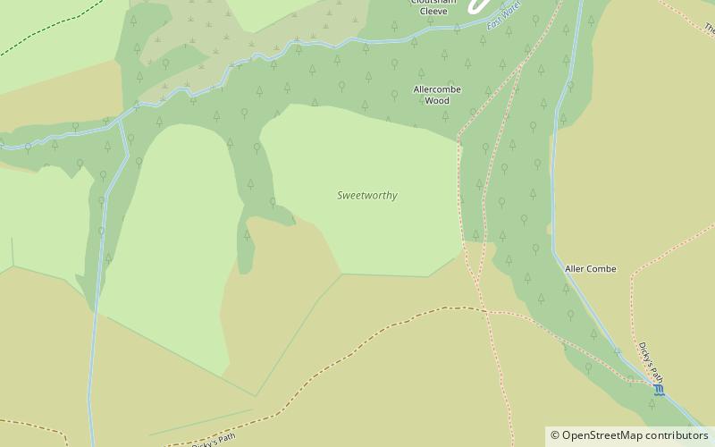
Sweetworthy, Exmoor National Park
Map

Map

Facts and practical information
Sweetworthy is the site of two Iron Age hill forts or enclosures at Luccombe, 4 kilometres south of Porlock, Somerset, England. They are on the north-facing slope of Dunkery Hill. One has a single rampart and external ditch, enclosing 0.25 hectares. The rampart is still visible and the ditch on the east side is used as a trackway. There was a defended settlement above the main site. ()
Coordinates: 51°10'17"N, 3°35'25"W
Address
Exmoor National Park
ContactAdd
Social media
Add
Day trips
Sweetworthy – popular in the area (distance from the attraction)
Nearby attractions include: Coleridge Way, Church of All Saints, Dunkery Hill, Scheduled monuments in West Somerset.
Frequently Asked Questions (FAQ)
Which popular attractions are close to Sweetworthy?
Nearby attractions include Dunkery Hill, Porlock (16 min walk), Stoke Pero Church, Exmoor National Park (23 min walk).


