Win Hill, Peak District
Map

Gallery

Facts and practical information
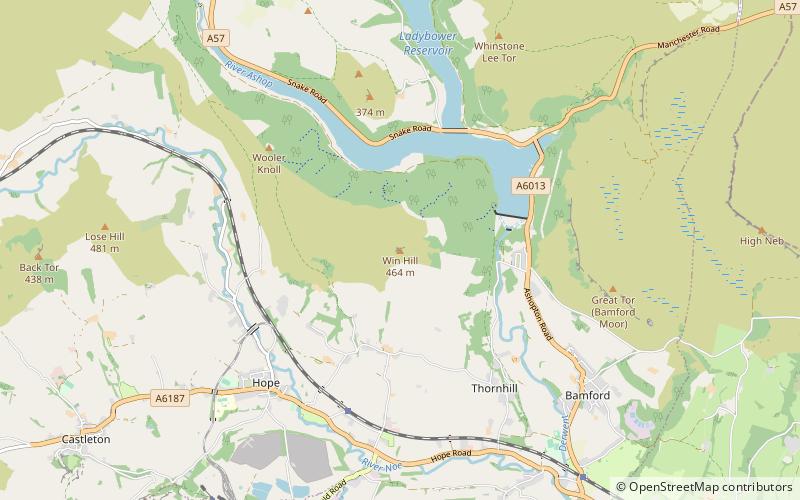
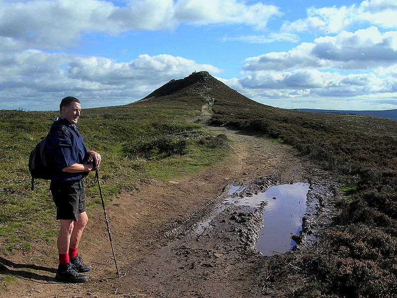
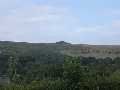
Win Hill is a hill north west of Bamford in the Derbyshire Peak District of England. Its summit is 462 m above sea level and it is bounded by the River Derwent to the east, the River Noe to the south west and Ladybower Reservoir to the north, with a ridge running north west linking it to Kinder Scout. The Roman road from Glossop over the Snake Pass crosses the ridge to the north and descends to Hope and the old Roman base of Brough in the Hope Valley, with the Hope Cross, a marker post dating from 1737, at the highest point of the road. ()
Elevation: 1519 ftProminence: 472 ftCoordinates: 53°21'45"N, 1°43'15"W
Day trips
Win Hill – popular in the area (distance from the attraction)
Nearby attractions include: Ladybower Reservoir, Bamford Edge, Crook Hill, Hope Valley.
Frequently Asked Questions (FAQ)
How to get to Win Hill by public transport?
The nearest stations to Win Hill:
Bus
Train
Bus
- Yorkshire Bridge Hotel • Lines: 257 (24 min walk)
- Ashopton/Heatherdene • Lines: 257 (29 min walk)
Train
- Hope (31 min walk)


