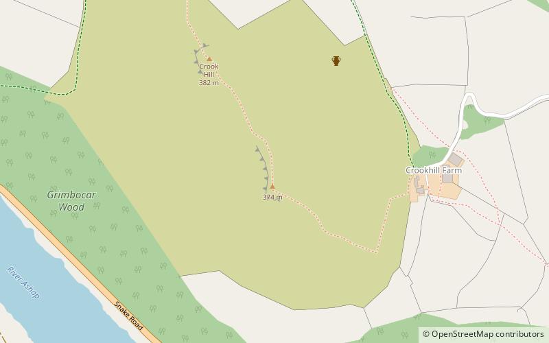
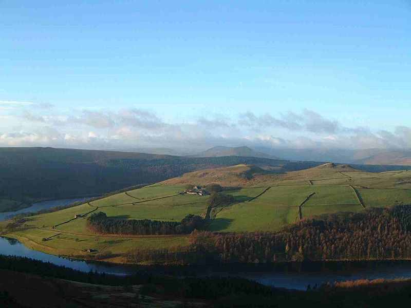
Crook Hill, Peak District

Gallery (3)
Map
Map
Gallery
Facts and practical information
Crook Hill is a small hill in the Peak District National Park in the English county of Derbyshire, 5 kilometres northeast of Castleton. ()
Elevation: 1253 ftProminence: 276 ftCoordinates: 53°22'42"N, 1°43'33"W
Address
Peak District
ContactAdd
Social media
Add
Getting there by public transportation
Public transportation stops near this location
- Bus
 Bus
Bus
- Calculate routeAshopton/Heatherdene 33 min walk
- Calculate routeYorkshire Bridge Hotel 40 min walk
Day trips


Frequently Asked Questions (FAQ)
How to get to Crook Hill by public transport?
The nearest stations to Crook Hill:
Bus
Bus
- Ashopton/Heatherdene • Lines: 257 (33 min walk)
- Yorkshire Bridge Hotel • Lines: 257 (40 min walk)