Ladybower Reservoir, Peak District
Map
Gallery
Facts and practical information
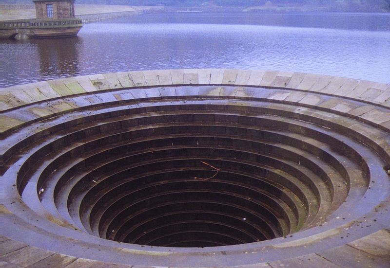
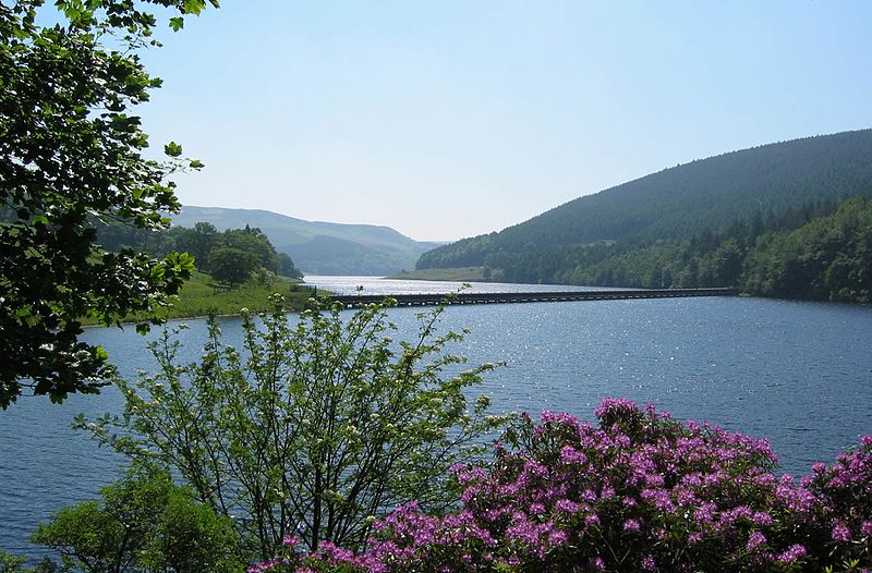
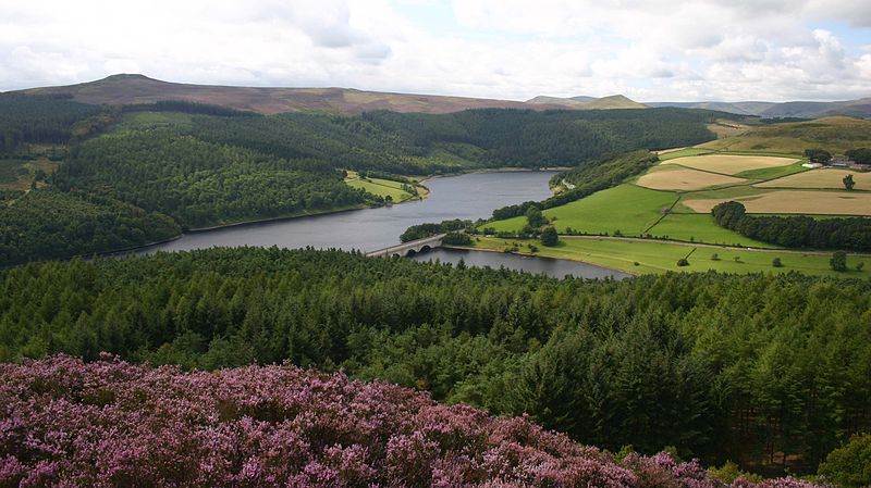
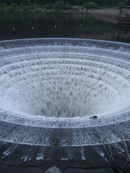
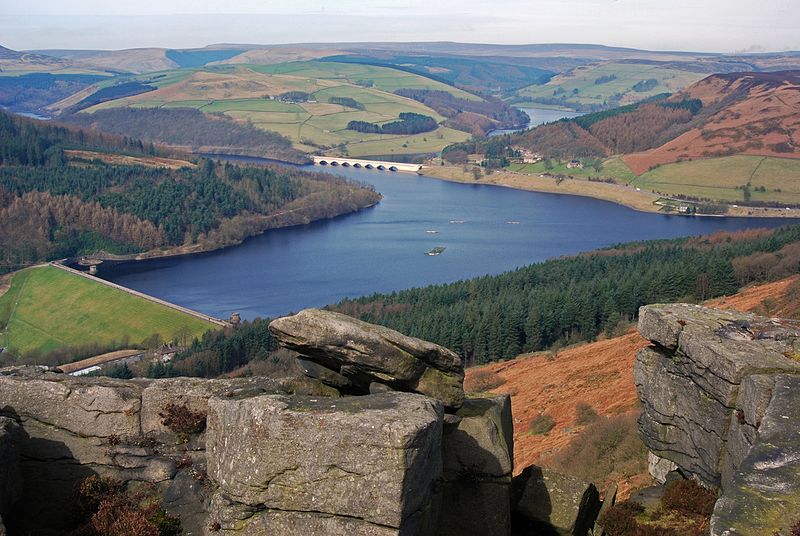
Ladybower Reservoir is a large Y-shaped, artificial reservoir, the lowest of three in the Upper Derwent Valley in Derbyshire, England. The River Ashop flows into the reservoir from the west; the River Derwent flows south, initially through Howden Reservoir, then Derwent Reservoir, and finally through Ladybower Reservoir. The reservoir is owned by Severn Trent plc. ()
Alternative names: Area: 0.81 mi²Length: 2.5 miWidth: 1950 ftMaximum depth: 135 ftElevation: 932 ft a.s.l.Coordinates: 53°22'47"N, 1°43'10"W
Address
Peak District
ContactAdd
Social media
Add
Day trips
Ladybower Reservoir – popular in the area (distance from the attraction)
Nearby attractions include: Pennine Way, Blue John Cavern, Mam Tor, Derwent Reservoir.
Frequently Asked Questions (FAQ)
How to get to Ladybower Reservoir by public transport?
The nearest stations to Ladybower Reservoir:
Bus
Bus
- Ashopton/Heatherdene • Lines: 257 (28 min walk)


