Balderhead Reservoir
Map
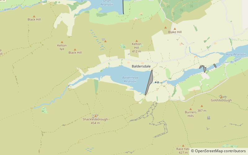
Map

Facts and practical information
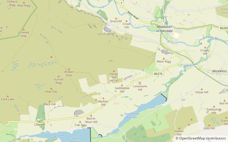
Balderhead Reservoir is a reservoir in Baldersdale, County Durham, England. It is one of a chain of three reservoirs on the River Balder, a tributary of the River Tees, which it joins at Cotherstone, about 5 miles to the east. Balderhead Reservoir was commissioned by the Tees Valley and Cleveland Water Board to increase water supply to Teesdale and Teesside. ()
Built: 1961 (65 years ago)Length: 9350 ftWidth: 2953 ftMaximum depth: 121 ftElevation: 1096 ft a.s.l.Coordinates: 54°33'40"N, 2°7'37"W
Location
England
ContactAdd
Social media
Add
Day trips
Balderhead Reservoir – popular in the area (distance from the attraction)
Nearby attractions include: Sleightholme Beck Gorge – The Troughs, Grassholme Reservoir, Baldersdale Woodlands, God's Bridge.

