Y Llethr, Snowdonia National Park

Gallery (1)
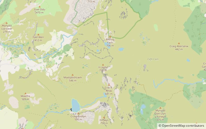
Map
Map
Facts and practical information
Y Llethr is the highest mountain in the Rhinogydd range of Snowdonia, in north Wales. The summit consists of a flat grassy top marked only by a small cairn. The summit is more in keeping with its southern flanks than its rugged northern approach. ()
Elevation: 2480 ftProminence: 1841 ftCoordinates: 52°48'46"N, 3°59'16"W
Address
Snowdonia National Park
ContactAdd
Social media
Add
Day trips


Frequently Asked Questions (FAQ)
Which popular attractions are close to Y Llethr?
Nearby attractions include Crib-y-rhiw, Snowdonia National Park (2 min walk), Rhinog Fach, Snowdonia National Park (21 min walk).