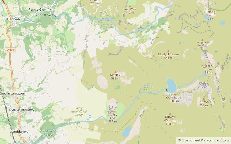
Moelfre Hill, Snowdonia National Park
Map

Map

Facts and practical information
Moelfre is a hill in Wales on the far western edge of the Snowdonia National Park, 3 miles from the village of Dyffryn Ardudwy, 5 miles from the village of Llanbedr and about 10 miles from the town of Harlech. It forms part of the Rhinogydd range. Moelfre reaches a height of 589 metres. ()
Elevation: 1932 ftProminence: 531 ftCoordinates: 52°48'5"N, 4°2'22"W
Address
Snowdonia National Park
ContactAdd
Social media
Add
Day trips
Moelfre Hill – popular in the area (distance from the attraction)
Nearby attractions include: Harlech Castle, St Tanwg's Church, St Dwywe's Church, Capel Salem.


