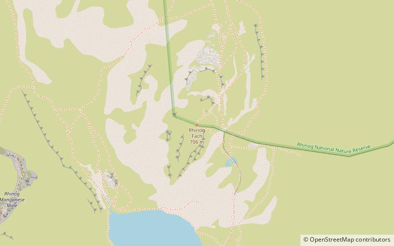
Rhinog Fach, Snowdonia National Park
Map

Map

Facts and practical information
Rhinog Fach is a mountain in Snowdonia, North Wales and forms part of the Rhinogydd. Technically, Rhinog Fach is a subsidiary summit of Y Llethr, but is a Marilyn. To the north lies its higher cousin Rhinog Fawr, separated by the shapely pass of Blwch Drws Ardudwy. ()
Elevation: 2336 ftProminence: 482 ftCoordinates: 52°49'27"N, 3°58'59"W
Address
Snowdonia National Park
ContactAdd
Social media
Add
Day trips
Rhinog Fach – popular in the area (distance from the attraction)
Nearby attractions include: Pistyll Cain, Mawddach Trail, Moel Ysgyfarnogod, Moelfre Hill.
Frequently Asked Questions (FAQ)
Which popular attractions are close to Rhinog Fach?
Nearby attractions include Crib-y-rhiw, Snowdonia National Park (20 min walk), Y Llethr, Snowdonia National Park (21 min walk).


