Tighvein, Isle of Arran
Map

Map

Facts and practical information
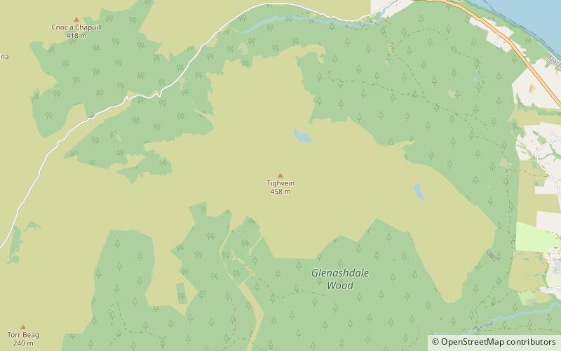
Tighvein is a hill above Lamlash on the Isle of Arran in western Scotland. It is a Marilyn and the highest point on the south-eastern section of the island, south-east of the pass of Monambre Glen. Two miles from the nearest road, the top is a heathery, boggy moor, almost entirely ringed by thick forestry plantations. It is rarely climbed as there are no paths to the top. ()
Elevation: 1503 ftProminence: 594 ftCoordinates: 55°29'59"N, 5°10'12"W
Address
Isle of Arran
ContactAdd
Social media
Add
Day trips
Tighvein – popular in the area (distance from the attraction)
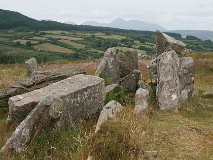
Nearby attractions include: Machrie Moor Stone Circles, Eas a' Chrannaig, Kildonan Castle, Brodick.


