Norbury Park
Map
Gallery
Facts and practical information
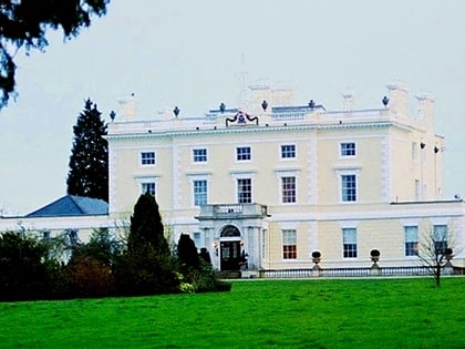
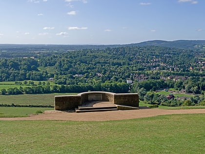
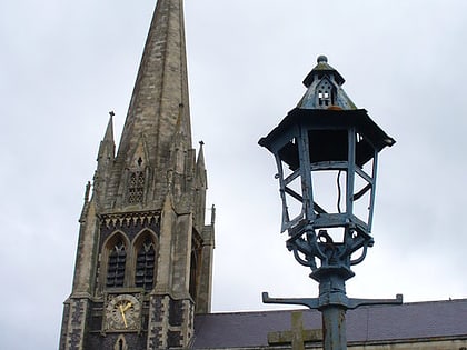
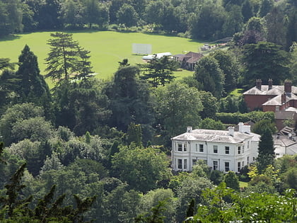
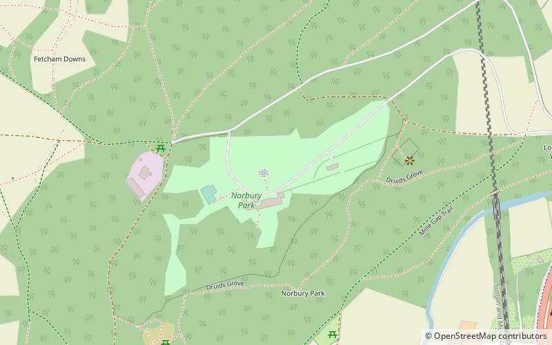
Norbury Park is a swathe of mixed wooded and agricultural land associated with its Georgian manor house near Leatherhead and Dorking, Surrey, which appears in the Domesday Book of 1086. It occupies mostly prominent land reaching into a bend in the Mole in the parish of Mickleham. ()
Elevation: 407 ft a.s.l.Coordinates: 51°16'17"N, 0°20'19"W
Location
England
ContactAdd
Social media
Add
Day trips
Norbury Park – popular in the area (distance from the attraction)
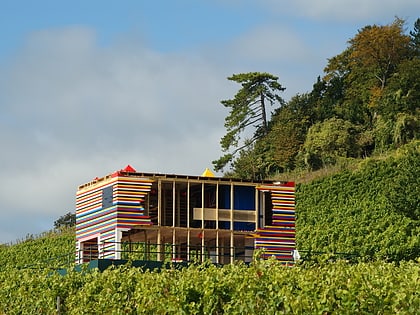
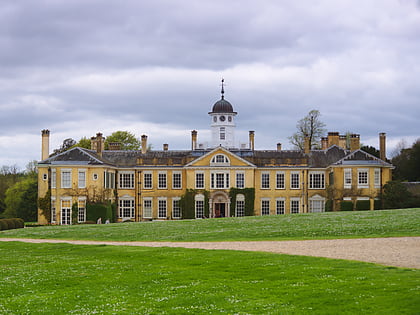
Nearby attractions include: Denbies Wine Estate, Polesden Lacey, Mole Gap Trail, Church of St Mary & St Nicholas.
