Kirklees Way, Leeds

Gallery (1)
Map
Map
Facts and practical information
The Kirklees Way is a 72-mile waymarked footpath in Kirklees metropolitan district, West Yorkshire, England. It was opened in 1990 and includes the upper Colne Valley, Spen Valley and Holme Valley. ()
Length: 72 miSeason: All yearCoordinates: 53°49'30"N, 1°25'44"W
Address
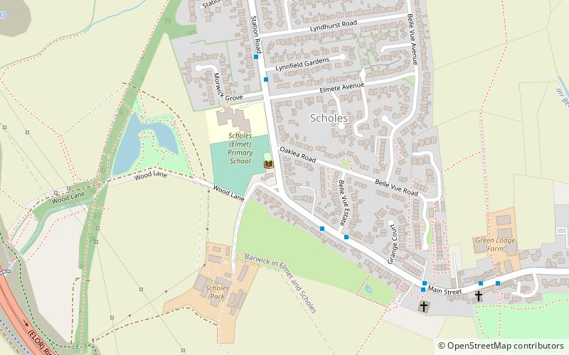
Whinmoor (Scholes)Leeds
ContactAdd
Social media
Add
Getting there by public transportation
Public transportation stops near this location
- Bus
 Bus
Bus
- Calculate routeMain Street Belle View Estate 3 min walk
- Calculate routeStation Road Lynfield Gardens 4 min walk
Day trips


Frequently Asked Questions (FAQ)
How to get to Kirklees Way by public transport?
The nearest stations to Kirklees Way:
Bus
Bus
- Main Street Belle View Estate • Lines: 11, 11A (3 min walk)
- Station Road Lynfield Gardens • Lines: 11, 11A (4 min walk)