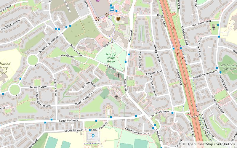
St James' Church, Leeds
Map

Map

Facts and practical information
Completed: 1846 (180 years ago)Coordinates: 53°49'7"N, 1°27'33"W
Day trips
St James' Church – popular in the area (distance from the attraction)
Nearby attractions include: Seacroft, Kirklees Way, Killingbeck, Fearnville.
Frequently Asked Questions (FAQ)
How to get to St James' Church by public transport?
The nearest stations to St James' Church:
Bus
Train
Bus
- The Green • Lines: 4, 4F (2 min walk)
- South Parkway York Road • Lines: 4, 4F (4 min walk)
Train
- Cross Gates (26 min walk)


