The Goatstones, Northumberland National Park

Gallery (1)
Map
Map
Facts and practical information
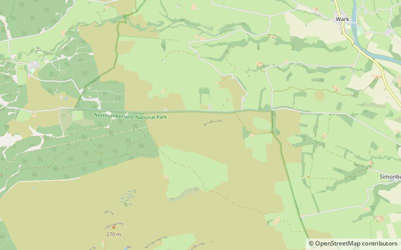
The Goatstones is a Bronze-Age four-poster stone circle located near Ravensheugh Crags in Northumberland, England. It is 2.5 miles to the north of Hadrian's Wall in the parish of Wark-on-Tyne. The name is thought to be derived from the Saxon "gyet stanes" meaning "wayside stones". The monument probably had some kind of religious purpose. ()
Coordinates: 55°4'3"N, 2°16'9"W
Address
Northumberland National Park
ContactAdd
Social media
Add
Day trips


