Hamsterley Forest
Map

Map

Facts and practical information
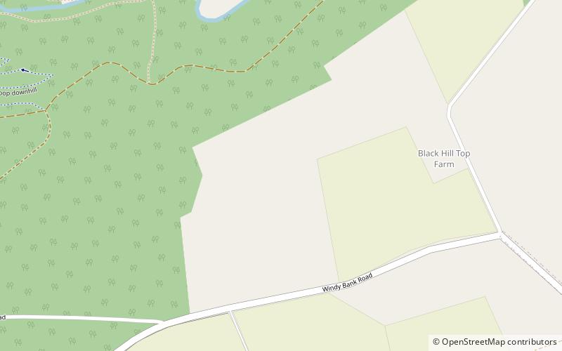
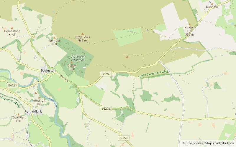
Hamsterley Forest is a commercial forest in County Durham owned and managed by Forestry England. It is the largest forest in County Durham and covers more than 2,000 hectares. Recreational activities within the forest are focused at the eastern end, around the visitors' centre. In addition to the visitors' centre, there is a cafe, toilet facilities and many cycling, walking and running trails. ()
Coordinates: 54°40'19"N, 1°51'22"W
Location
England
ContactAdd
Social media
Add
Day trips
Hamsterley Forest – popular in the area (distance from the attraction)
Nearby attractions include: Witton Castle, Crag Gill, Low Barns Nature Reserve, Weardale.


