Wolsingham
#6789 among destinations in the United Kingdom
![Wolsingham location map](https://tzmedia.b-cdn.net/media/images/static-maps/gb/54_7304_-1_88243.jpg)
Facts and practical information
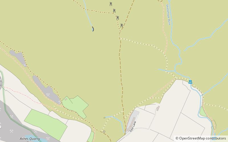
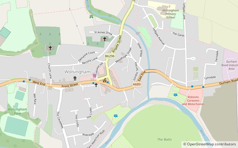
Wolsingham is a small market town in Weardale, County Durham, England. It is situated by the River Wear, between Crook and Stanhope in North West Durham. ()
EnglandUnited Kingdom
Wolsingham plan & book
Unleash the traveler in you — discover the cheapest flight deals, find the perfect hotel or hostel nearby, and search for the best car rental prices. Travel at your own pace to discover new places and enjoy your journey.
Wolsingham – popular in the area (distance from the attraction)
Nearby attractions include: Tunstall Reservoir, Smiddy Shaw Reservoir, Witton Castle, Low Barns Nature Reserve.
2.5 miNNature, Natural attraction, LakeTunstall Reservoir
65 min walk • Tunstall Reservoir was a water supply storage reservoir completed in 1879, and now used solely to maintain minimum regulatory flows on the River Wear in northeast England.
5.9 miNNature, Natural attraction, LakeSmiddy Shaw Reservoir
151 min walk • Smiddy Shaw Reservoir is one of a group of three reservoirs located on Muggleswick Common, County Durham, the others being Waskerley and Hisehope Reservoirs. The reservoir, which was completed by 1872, is owned and operated by Northumbrian Water.
6.4 miSEForts and castlesWitton Castle
163 min walk • Witton Castle is a much-altered 15th-century castle, which is the centrepiece of a holiday and caravan country park at Witton le Wear, near Bishop Auckland, County Durham. It is a Grade II* listed building.
6.4 miSE 5.2 miNEFarmHall Hill Farm, Durham
133 min walk • Hall Hill Farm is a tourist attraction located in County Durham, near Tow Law, England.
4.8 miWArchaeological siteCrawley Edge Cairns, Stanhope
123 min walk • The Crawley Edge Cairns are a series of forty-two Bronze Age round barrows, cairns and clearance cairns located in a field in Crawleyside, near Stanhope, County Durham, England.
2 miSWNature, Natural attraction, ValleyWeardale
51 min walk • Weardale is a dale, or valley, on the east side of the Pennines in County Durham, England. Large parts of Weardale fall within the North Pennines Area of Outstanding Natural Beauty – the second-largest AONB in England and Wales.
5.4 miNWNature, Natural attraction, LakeWaskerley Reservoir
139 min walk • Waskerley Reservoir is the largest of a group of three reservoirs located on Muggleswick Common, County Durham, the others being Smiddy Shaw and Hisehope Reservoirs.
4.2 miSNature, Natural attraction, ForestHamsterley Forest
107 min walk • Hamsterley Forest is a commercial forest in County Durham owned and managed by Forestry England. It is the largest forest in County Durham and covers more than 2,000 hectares.
5.3 miNENature, Natural attraction, Protected areaHedleyhope Fell
136 min walk • Hedleyhope Fell is a nature reserve to the north-east of Tow Law, County Durham, England. The reserve is managed by Durham Wildlife Trust and consists of some 202 hectares of mainly mid-altitude heathland. It occupies the steep slope on the right bank of Hedleyhope Burn, between the stream and the B6301 Tow Law–Cornsay Colliery road.
6 miNWArchaeological siteHeathery Burn Cave
154 min walk • Heathery Burn Cave is a cave near Stanhope, County Durham, England, in which a large collection of Late Bronze Age weapons and tools was discovered and excavated between 1859 and 1872.