Weardale
Map

Gallery

Facts and practical information
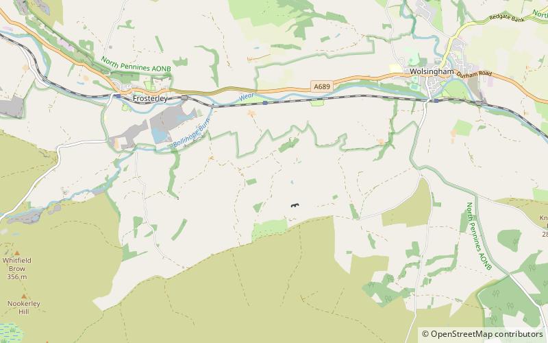
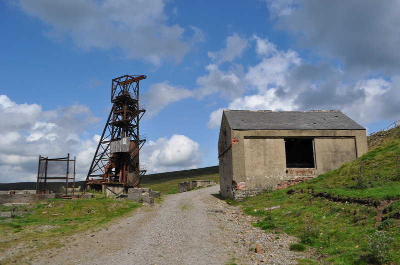
Weardale is a dale, or valley, on the east side of the Pennines in County Durham, England. Large parts of Weardale fall within the North Pennines Area of Outstanding Natural Beauty – the second-largest AONB in England and Wales. The upper dale is surrounded by high fells and heather grouse moors. The River Wear flows through Weardale before reaching Bishop Auckland and then Durham, meeting the sea at Sunderland. ()
Coordinates: 54°42'58"N, 1°55'30"W
Location
England
ContactAdd
Social media
Add
Day trips
Weardale – popular in the area (distance from the attraction)
Nearby attractions include: Tunstall Reservoir, Hall Hill Farm, Crawley Edge Cairns, Waskerley Reservoir.


