St George's Walk, London
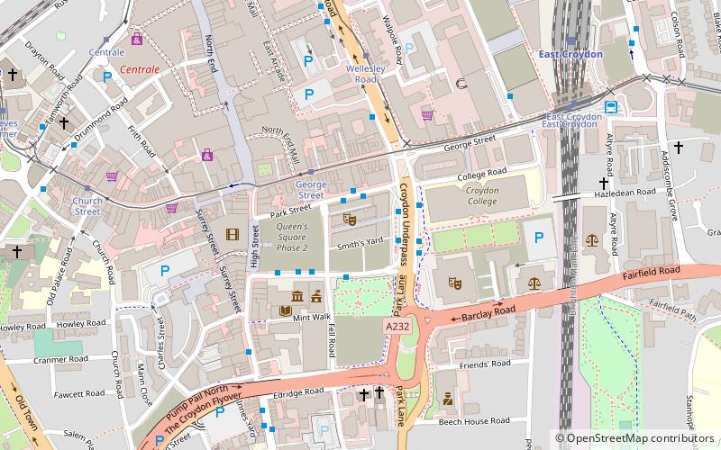
Map

Gallery

Facts and practical information
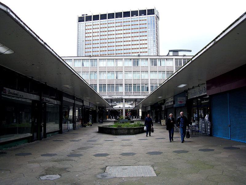
St George's Walk is a partially covered shopping parade in the centre of Croydon, London that houses many independent stores. It was completed in 1964 by Ronald Ward and Partners, the designers of St George's House, at one end of the walk, and Millbank Tower in Westminster. ()
Coordinates: 51°22'23"N, 0°5'52"W
Day trips
St George's Walk – popular in the area (distance from the attraction)
Nearby attractions include: Whitgift Centre, Centrale, Queen's Gardens, Grants of Croydon.
Frequently Asked Questions (FAQ)
Which popular attractions are close to St George's Walk?
Nearby attractions include Nestlé Tower, Warlingham (1 min walk), Croydon Underpass, Warlingham (3 min walk), Queen's Gardens, London (3 min walk), Croydon Town Hall, Warlingham (3 min walk).
How to get to St George's Walk by public transport?
The nearest stations to St George's Walk:
Tram
Bus
Train
Tram
- George Street • Lines: 2, 3, 4 (2 min walk)
- Wellesley Road • Lines: 2, 3, 4 (5 min walk)
Bus
- Electric House • Lines: 194, 198, 367, 64, 689 (3 min walk)
- Croydon Flyover • Lines: 119, 166, 312, 405, 407, 412, 455, 466, 468, 60, 645, N68 (6 min walk)
Train
- East Croydon (8 min walk)
- West Croydon (12 min walk)

 Tube
Tube


