Saffron Square, Warlingham
Map

Gallery

Facts and practical information
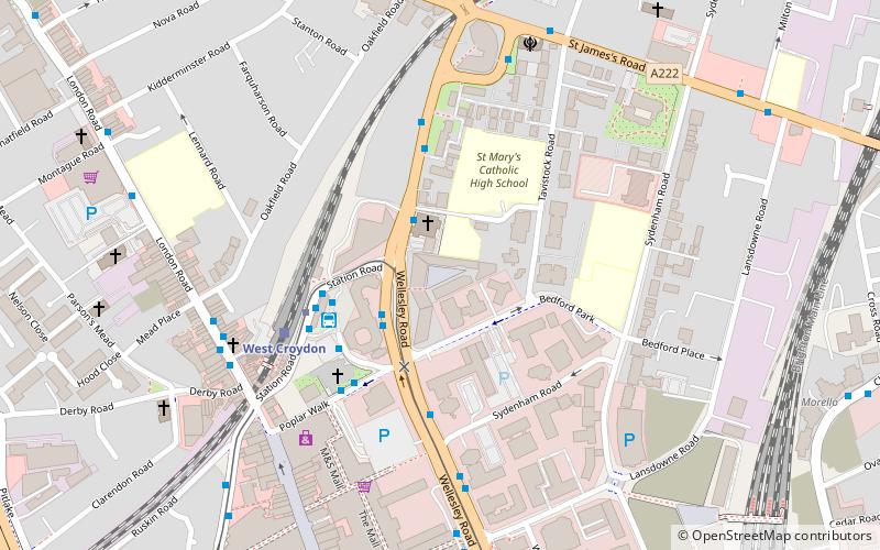
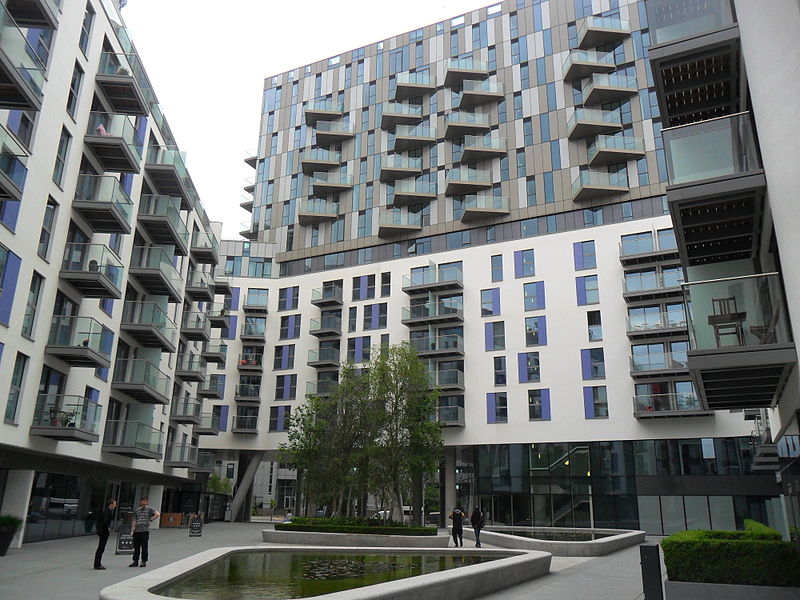
Saffron Square is a town square and high-rise building in Croydon, United Kingdom. The purple and red Saffron Tower is currently the second-tallest building in Croydon. ()
Coordinates: 51°22'46"N, 0°5'56"W
Address
Croydon (Fairfield)Warlingham
ContactAdd
Social media
Add
Day trips
Saffron Square – popular in the area (distance from the attraction)
Nearby attractions include: St George's Walk, Whitgift Centre, Centrale, Queen's Gardens.
Frequently Asked Questions (FAQ)
Which popular attractions are close to Saffron Square?
Nearby attractions include Lunar House, Warlingham (3 min walk), Apollo House, Warlingham (5 min walk), Croydon Underpass, Warlingham (10 min walk), Nestlé Tower, Warlingham (12 min walk).
How to get to Saffron Square by public transport?
The nearest stations to Saffron Square:
Bus
Tram
Train
Bus
- St Mary's Church / West Croydon • Lines: 468, 50, 75, N68 (2 min walk)
- Delta Point • Lines: 468, 50, N68, X26 (2 min walk)
Tram
- West Croydon • Lines: 2, 3, 4 (3 min walk)
- Wellesley Road • Lines: 2, 3, 4 (7 min walk)
Train
- West Croydon (4 min walk)
- East Croydon (10 min walk)


