Centrale, London
Map
Gallery
Facts and practical information
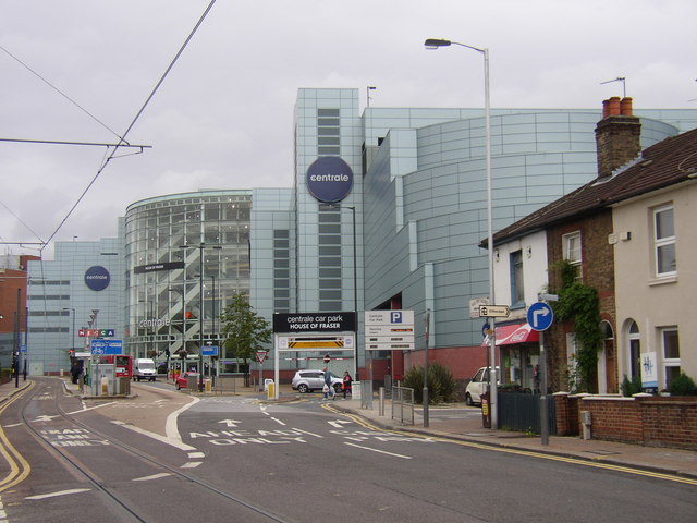
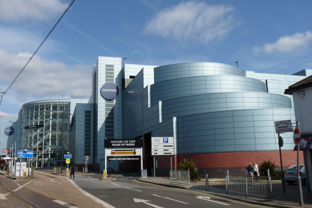
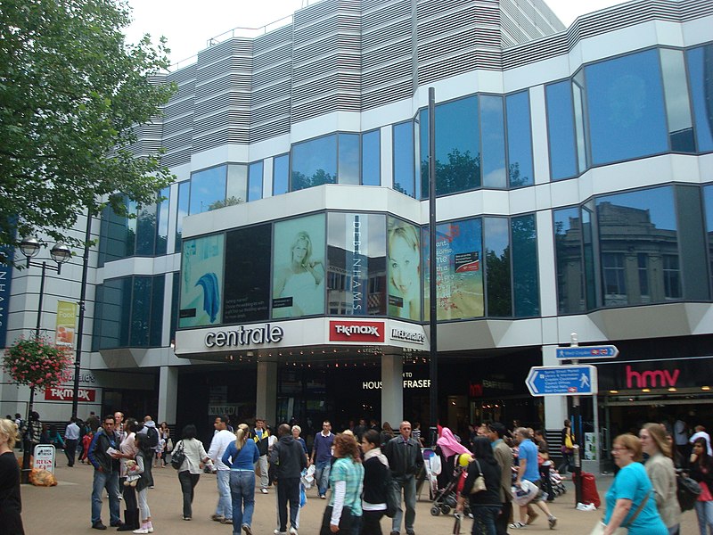
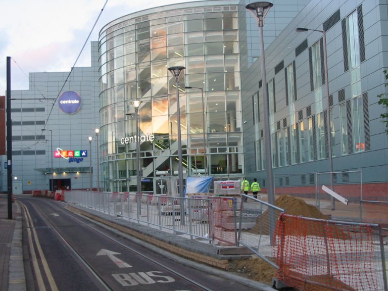
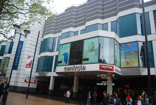
Centrale is a shopping centre in Croydon, South London, one of the largest covered retail developments in London. It is owned and managed by Hammerson and was opened in 2004. Plans were announced in January 2013 to redevelop Centrale and combine it with the Whitgift Centre. ()
Stores: 61Coordinates: 51°22'31"N, 0°6'9"W
Address
21 North EndCroydon (Broad Green)London CR0 1TY
Contact
+44 20 8681 5841
Social media
Add
Day trips
Centrale – popular in the area (distance from the attraction)
Nearby attractions include: St George's Walk, Whitgift Centre, Queen's Gardens, Grants of Croydon.
Frequently Asked Questions (FAQ)
Which popular attractions are close to Centrale?
Nearby attractions include Church Street tram stop, Warlingham (4 min walk), Croydon, London (5 min walk), Surrey Street Market, London (5 min walk), Croydon Palace, Warlingham (6 min walk).
How to get to Centrale by public transport?
The nearest stations to Centrale:
Bus
Tram
Train
Bus
- Tamworth Road / Centrale Tram Stop • Lines: 157, 264, 407, 410, 455, 645 (2 min walk)
- Ruskin Road • Lines: 157, 264, 407, 410, 455, 645 (3 min walk)
Tram
- Centrale • Lines: 2, 3, 4 (2 min walk)
- Church Street • Lines: 2, 3, 4 (4 min walk)
Train
- West Croydon (7 min walk)
- East Croydon (11 min walk)



 Tube
Tube


