Queen's Gardens, London
Map
Gallery
Facts and practical information
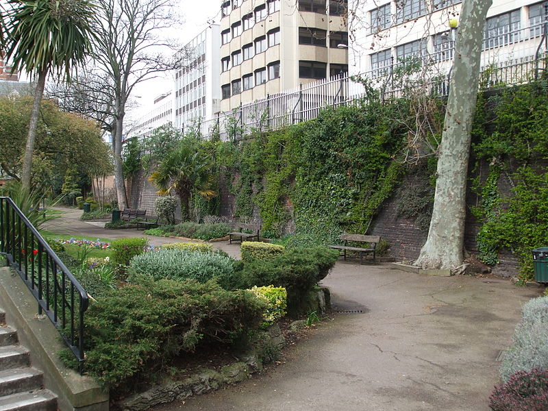
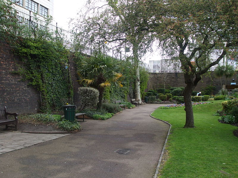
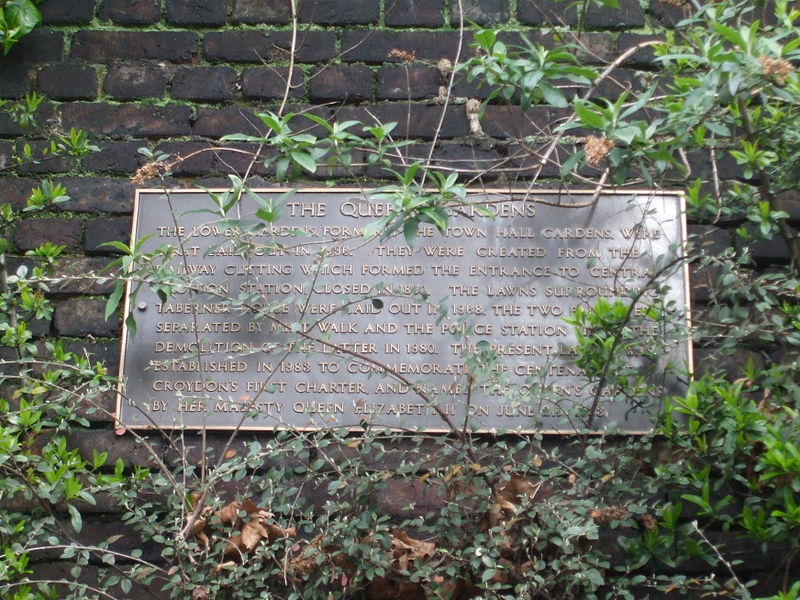
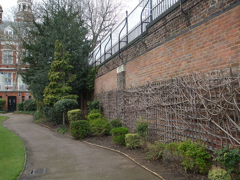
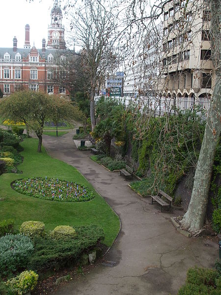
The Queen's Gardens is a public garden in the centre of Croydon, South London. The gardens are bordered by Croydon Town Hall, Bernard Weatherill House, the site of the former Taberner House, Park Lane and Katharine Street. ()
Elevation: 207 ft a.s.l.Coordinates: 51°22'19"N, 0°5'52"W
Day trips
Queen's Gardens – popular in the area (distance from the attraction)
Nearby attractions include: St George's Walk, Whitgift Centre, Centrale, Grants of Croydon.
Frequently Asked Questions (FAQ)
Which popular attractions are close to Queen's Gardens?
Nearby attractions include Croydon Town Hall, Warlingham (2 min walk), Museum of Croydon, London (2 min walk), Croydon Cenotaph, Warlingham (2 min walk), Croydon Central Library, Warlingham (3 min walk).
How to get to Queen's Gardens by public transport?
The nearest stations to Queen's Gardens:
Bus
Tram
Train
Bus
- Croydon Flyover • Lines: 119, 166, 312, 405, 407, 412, 455, 466, 468, 60, 645, N68 (4 min walk)
- Electric House • Lines: 194, 198, 367, 64, 689 (5 min walk)
Tram
- George Street • Lines: 2, 3, 4 (4 min walk)
- Wellesley Road • Lines: 2, 3, 4 (7 min walk)
Train
- East Croydon (9 min walk)
- West Croydon (14 min walk)



 Tube
Tube


