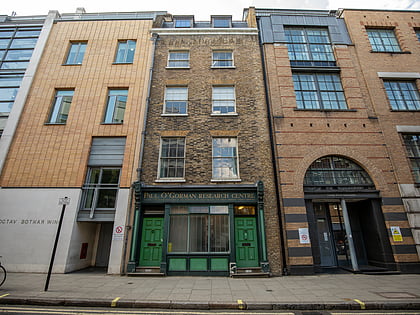
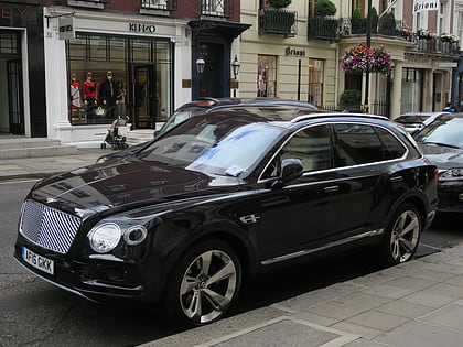
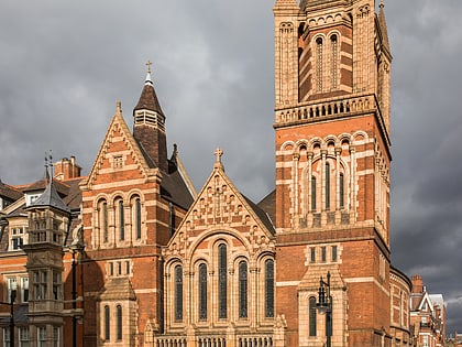
Mayfair, London
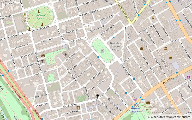
Map
Gallery
Facts and practical information
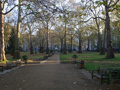
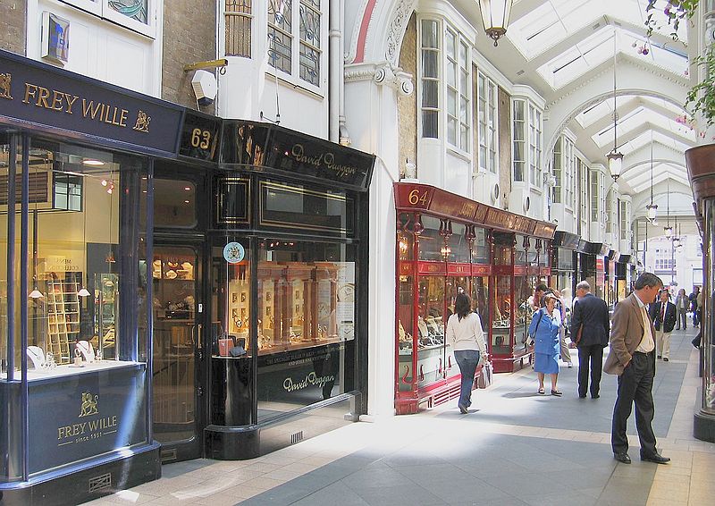
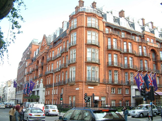
Mayfair is an affluent area in the West End of London towards the eastern edge of Hyde Park, in the City of Westminster, between Oxford Street, Regent Street, Piccadilly and Park Lane. It is one of the most expensive districts in the world. ()
Day trips
Mayfair – popular in the area (distance from the attraction)
Nearby attractions include: Bond Street, South Molton Street, Conduit Street, Bruton Street.
Frequently Asked Questions (FAQ)
Which popular attractions are close to Mayfair?
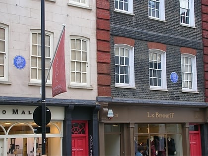
Nearby attractions include Maddox Street, London (3 min walk), Timothy Taylor, London (3 min walk), Berkeley Square, London (4 min walk), Handel & Hendrix in London, London (4 min walk).
How to get to Mayfair by public transport?
The nearest stations to Mayfair:
Metro
Bus
Train
Ferry
Metro
- Bond Street • Lines: Central, Jubilee (7 min walk)
- Oxford Circus • Lines: Bakerloo, Central, Victoria (10 min walk)
Bus
- Oxford Circus Station / John Lewis • Lines: 390, 7, 98, N207, N7, N98 (8 min walk)
- Oxford Circus Station / Harewood Place • Lines: 7, 98, N7, N98 (8 min walk)
Train
- Charing Cross (27 min walk)
- London Victoria (29 min walk)
Ferry
- Embankment • Lines: Green Tour, Rb1, Rb1X, Rb2, Rb6 (30 min walk)
- Westminster Pier • Lines: Blue Tour, Green Tour, Rb1, Rb1X, Rb2, Red Tour (32 min walk)



 Tube
Tube
