Elham Valley
Map

Map

Facts and practical information
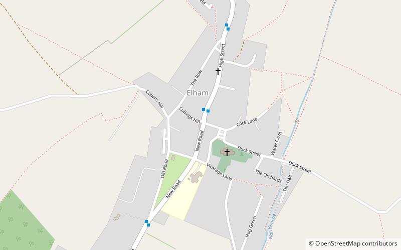
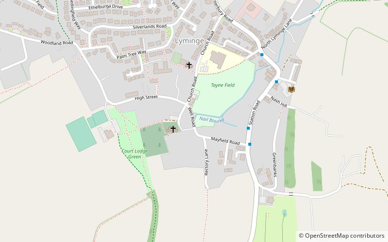
The Elham Valley is a chalk valley carved by the River Nailbourne situated in the North Downs in East Kent. The valley is named after the settlement of Elham. Other settlements in the valley include Etchinghill, Lyminge, Barham, Kingston, Bishopsbourne and Bridge. ()
Coordinates: 51°9'10"N, 1°6'39"E
Day trips
Elham Valley – popular in the area (distance from the attraction)
Nearby attractions include: Folkestone Ski Centre, Kent Battle of Britain Museum, Cheriton, Swingfield Preceptory.


