Farthing Common
Map

Map

Facts and practical information
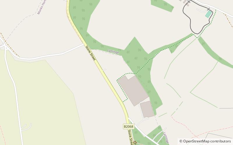
Farthing Common is an area of common land about 10 km northwest of Folkestone in East Kent. It is one of the highest points of the North Downs at 185 metres above sea level, and was the junction of the ancient trackway along the Downs from Folkestone, with the Roman road between Lympne and Canterbury. ()
Elevation: 594 ft a.s.l.Coordinates: 51°7'34"N, 1°2'60"E
Day trips
Farthing Common – popular in the area (distance from the attraction)
Nearby attractions include: Port Lympne Reserve, Kent Battle of Britain Museum, Lympne Castle, Dymchurch Redoubt.


