St Peter's Church, Newcastle upon Tyne

Gallery (10)
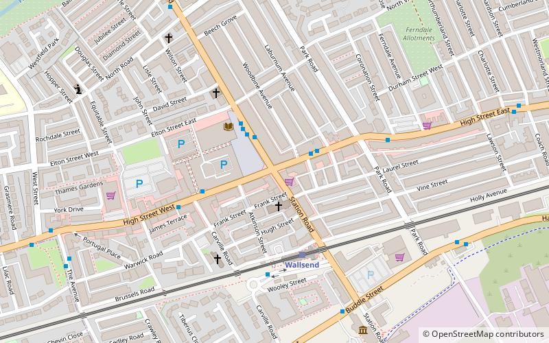
Map

Map

Gallery
Facts and practical information
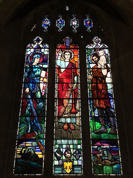
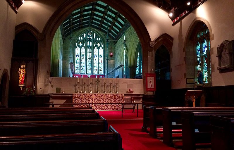
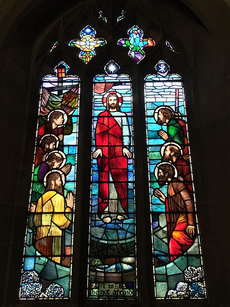
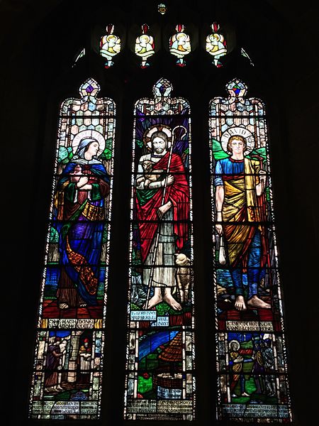
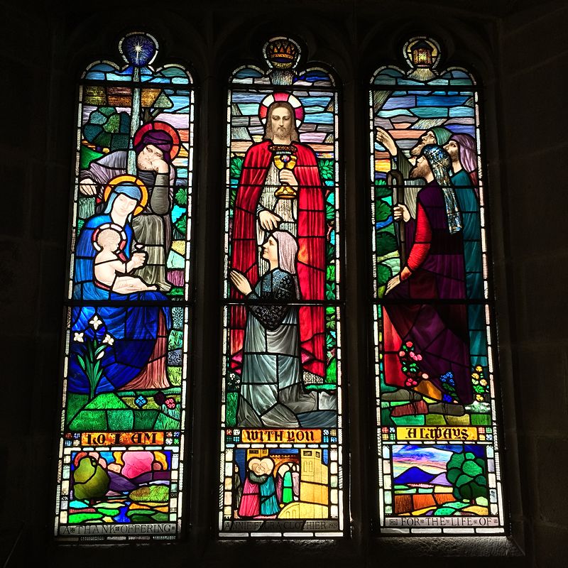
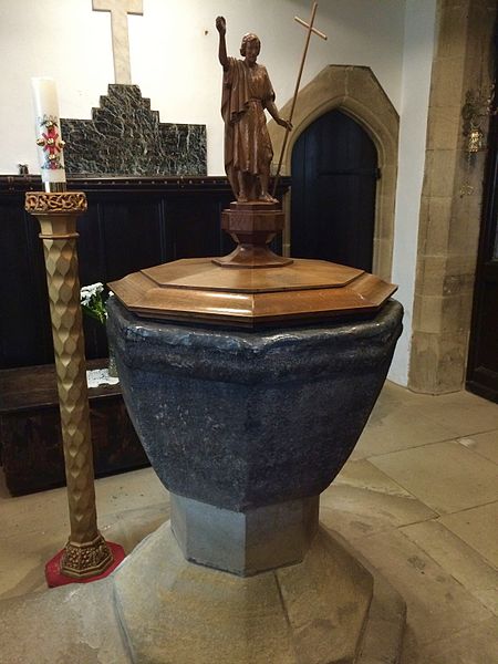
The Church of St Peter is a Church of England Grade II* listed church located on the east side of Wallsend, North Tyneside. It was constructed to replace Holy Cross Church, which had been built c. 1150 but had fallen into disrepair by the end of the eighteenth century. The building was extensively remodeled in 1892 in the Perpendicular style to give it its present form. The parish church oldest in Wallsend ()
Coordinates: 54°59'38"N, 1°31'3"W
Getting there by public transportation
Public transportation stops near this location
- Bus
- Light rail
 Bus
Bus
- Calculate routeBurnside School 4 min walk
- Calculate routeTown Hall 10 min walk
- Calculate routeRosehill Bank-Rosehill Road-W/B 12 min walk
- Calculate routeHadrian Road 4 min walk
- Calculate routeWallsend 18 min walk
- Calculate routeHowdon 24 min walk
- Calculate routeJarrow 35 min walk
Day trips


Frequently Asked Questions (FAQ)
Which popular attractions are close to St Peter's Church?
Nearby attractions include Wallsend Town Hall, Jarrow (10 min walk), Willington Dene Viaduct, Newcastle upon Tyne (11 min walk), Wallsend, Newcastle upon Tyne (17 min walk), St Luke's Church, Newcastle upon Tyne (18 min walk).
How to get to St Peter's Church by public transport?
The nearest stations to St Peter's Church:
Bus
Light rail
Bus
- Burnside School • Lines: 11 (4 min walk)
- Town Hall • Lines: 11 (10 min walk)
Light rail
- Hadrian Road • Lines: Yellow (4 min walk)
- Wallsend • Lines: Yellow (18 min walk)