Willington Dene Viaduct, Newcastle upon Tyne
Map

Map

Facts and practical information
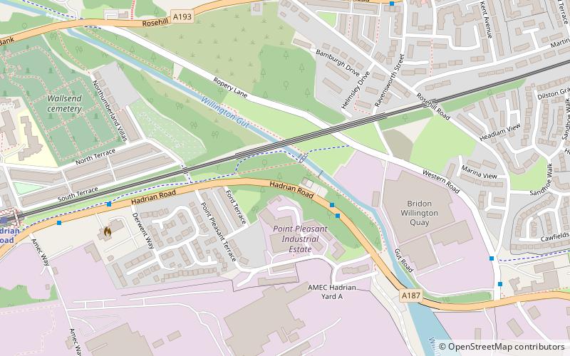
Willington Dene Viaduct carries the Tyne and Wear Metro railway over the Wallsend Burn between Wallsend and Howdon, Tyne and Wear. Designed by architects John and Benjamin Green, it was originally built in the late 1830s for the Newcastle & North Shields Railway. It is a Grade II listed building. ()
Opened: 18 June 1839 (186 years ago)Coordinates: 54°59'35"N, 1°30'27"W
Address
Newcastle upon Tyne
ContactAdd
Social media
Add
Day trips
Willington Dene Viaduct – popular in the area (distance from the attraction)
Nearby attractions include: St Peter's Church, Town Hall, North Tyneside Steam Railway, St Luke's Church.
Frequently Asked Questions (FAQ)
Which popular attractions are close to Willington Dene Viaduct?
Nearby attractions include St Peter's Church, Newcastle upon Tyne (11 min walk), Wallsend Town Hall, Jarrow (20 min walk), Tyne cyclist and pedestrian tunnels, Jarrow (23 min walk).
How to get to Willington Dene Viaduct by public transport?
The nearest stations to Willington Dene Viaduct:
Bus
Light rail
Train
Bus
- Rosehill Bank-Rosehill Road-W/B • Lines: 11 (6 min walk)
Light rail
- Hadrian Road • Lines: Yellow (9 min walk)
- Howdon • Lines: Yellow (15 min walk)
Train
- Percy Main (31 min walk)


