Wandsworth, London
Map
Gallery
Facts and practical information
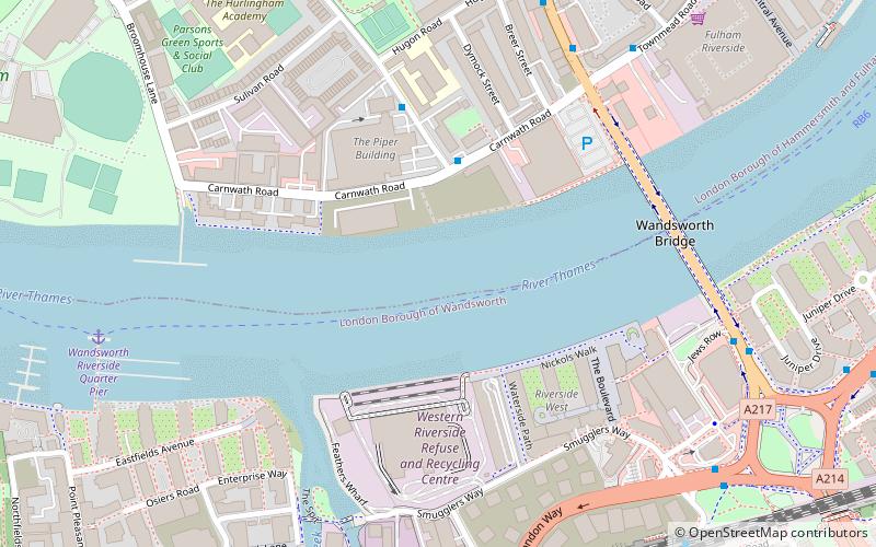
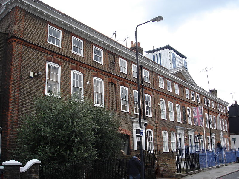
Wandsworth Town is a district of south London, within the London Borough of Wandsworth 4.2 miles southwest of Charing Cross. The area is identified in the London Plan as one of 35 major centres in Greater London. ()
Address
Hammersmith and Fulham (Sands End)London
ContactAdd
Social media
Add
Day trips
Wandsworth – popular in the area (distance from the attraction)
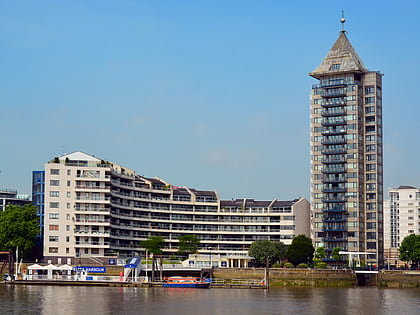
Nearby attractions include: Chelsea Harbour, Southside Wandsworth, Putney Exchange, Wandsworth Park.
Frequently Asked Questions (FAQ)
Which popular attractions are close to Wandsworth?
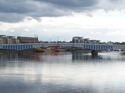
Nearby attractions include Wandsworth Bridge, London (6 min walk), Wandsworth Town Hall, London (13 min walk), Wandsworth Park, London (14 min walk), Wandsworth Museum, London (16 min walk).
How to get to Wandsworth by public transport?
The nearest stations to Wandsworth:
Bus
Ferry
Train
Metro
Bus
- Hail & Ride Chelsea College • Lines: 424 (3 min walk)
- Townmead Road • Lines: 28, 295, N28 (6 min walk)
Ferry
- Wandsworth Riverside Quarter Pier • Lines: Rb6 (8 min walk)
- Plantation Wharf Pier • Lines: Rb6 (12 min walk)
Train
- Wandsworth Town (8 min walk)
- Imperial Wharf (22 min walk)
Metro
- Putney Bridge • Lines: District (20 min walk)
- Parsons Green • Lines: District (22 min walk)

 Tube
Tube