London Borough of Hackney, London
Map
Gallery
Facts and practical information
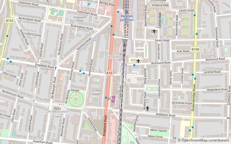
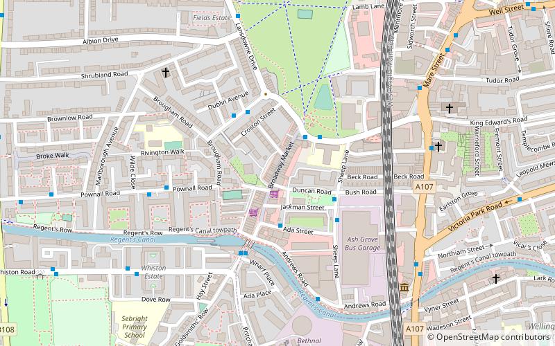
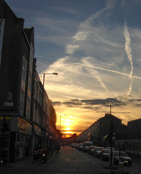
The London Borough of Hackney is a London borough in Inner London. The historical and administrative heart of Hackney is Mare Street, which lies 5 miles north-east of Charing Cross. The borough is named after Hackney, its principal district. Southern and eastern parts of the borough are popularly regarded as being part of east London, with the northwest belonging to north London. Its population is 281,120 inhabitants. ()
Day trips
London Borough of Hackney – popular in the area (distance from the attraction)
Nearby attractions include: Lee Valley Ice Centre, Power Lunches, Rio Cinema, Hackney Empire.
Frequently Asked Questions (FAQ)
Which popular attractions are close to London Borough of Hackney?
Nearby attractions include Banner Repeater, London (4 min walk), Clapton Square, London (6 min walk), Church of St John-at-Hackney, London (6 min walk), Hackney Empire, London (9 min walk).
How to get to London Borough of Hackney by public transport?
The nearest stations to London Borough of Hackney:
Bus
Train
Bus
- Pembury Circus • Lines: 106, 242, 253, 254, 38, 55, N242, N253, N38, N55 (1 min walk)
- Amhurst Road / Hackney Downs Station • Lines: 106, 242, 253, 254, 276, 38, 55, N242, N253, N38, N55 (3 min walk)
Train
- Hackney Downs (4 min walk)
- Hackney Central (6 min walk)



 Tube
Tube
