Hackney, London
Map

Gallery

Facts and practical information
Hackney is a district in East London, England, forming around two-thirds of the area of the modern London Borough of Hackney, to which it gives its name. It is 4 miles northeast of Charing Cross and includes part of the Queen Elizabeth Olympic Park. Historically it was within the county of Middlesex. ()
Coordinates: 51°32'35"N, 0°3'32"W
Address
Hackney (Queensbridge)London
ContactAdd
Social media
Add
Day trips
Hackney – popular in the area (distance from the attraction)
Nearby attractions include: Power Lunches, The Queen Adelaide, Rio Cinema, Hackney Empire.
Frequently Asked Questions (FAQ)
Which popular attractions are close to Hackney?
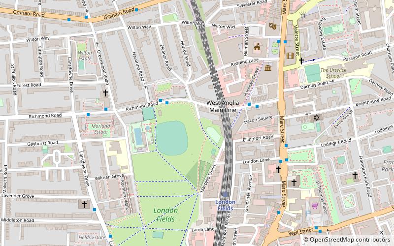
Nearby attractions include Hackney Central, London (1 min walk), London Fields, London (4 min walk), Hackney Museum, London (5 min walk), Hackney Town Hall, London (5 min walk).
How to get to Hackney by public transport?
The nearest stations to Hackney:
Bus
Train
Metro
Bus
- Navarino Road • Lines: 394 (2 min walk)
- Martello Street • Lines: 394 (3 min walk)
Train
- London Fields (4 min walk)
- Hackney Central (8 min walk)
Metro
- Bethnal Green • Lines: Central (29 min walk)

 Tube
Tube


