Poles Coppice countryside site
Map

Gallery

Facts and practical information
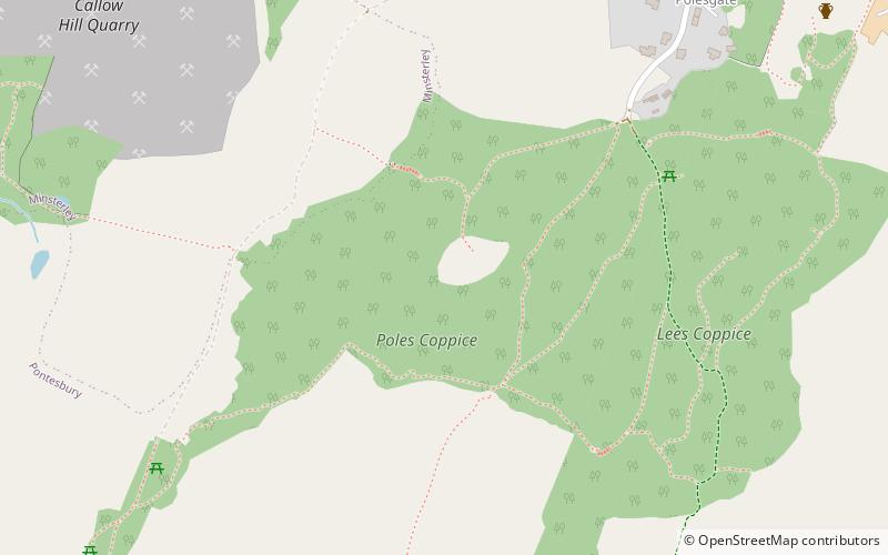
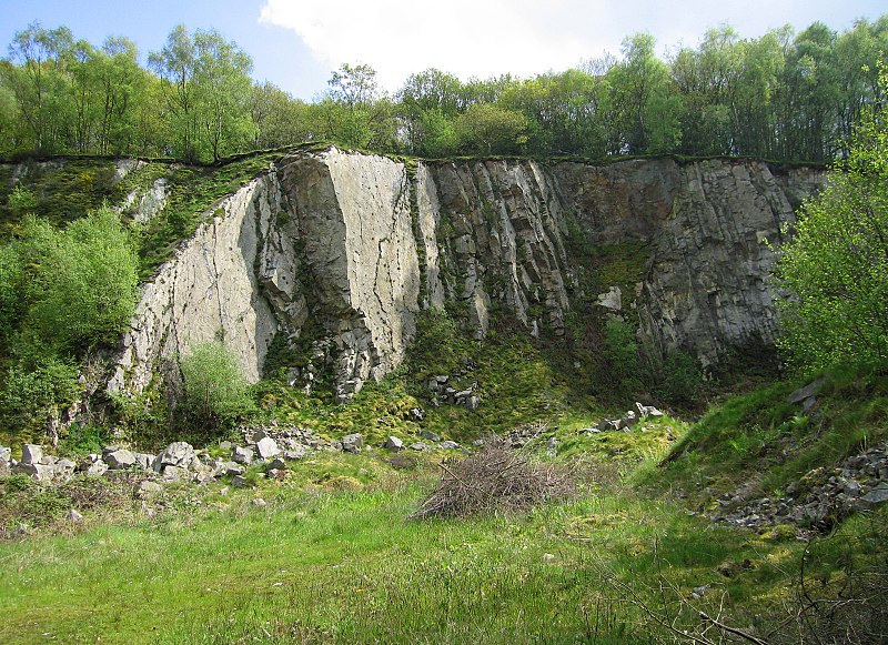
Poles Coppice countryside site is an area of ancient oak woodland with disused quarry workings, located around 0.5 miles south of Pontesbury, Shropshire. It is managed by Shropshire Council as a picnic spot and area for walking and recreation activities. ()
Elevation: 673 ft a.s.l.Coordinates: 52°38'9"N, 2°54'8"W
Location
England
ContactAdd
Social media
Add
Day trips
Poles Coppice countryside site – popular in the area (distance from the attraction)
Nearby attractions include: Snailbeach Mine, Rowton Castle, Corndon Hill, Wild Edric's Way.


