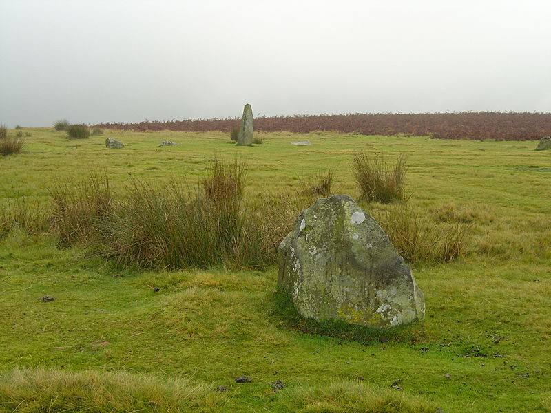
Mitchell's Fold

Gallery (2)
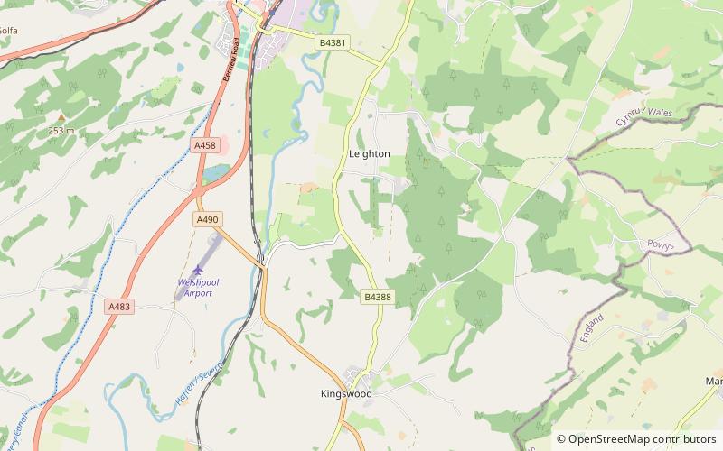
Map
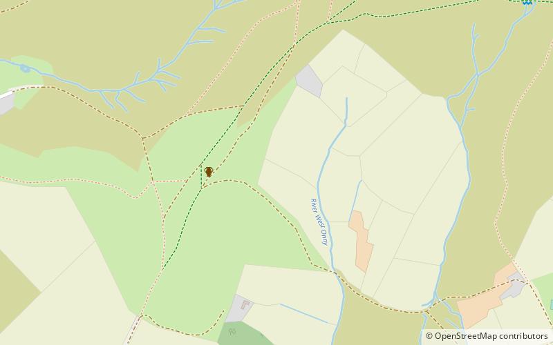
Map
Gallery
Facts and practical information
Mitchell's Fold is a Bronze Age stone circle in southwest Shropshire, located near the small village of White Grit on dry heathland at the southwest end of Stapeley Hill in the civil parish of Chirbury with Brompton, at a height of 1083 ft o.d. ()
Location
England
ContactAdd
Social media
Add
Day trips