Denge Wood
Map

Map

Facts and practical information
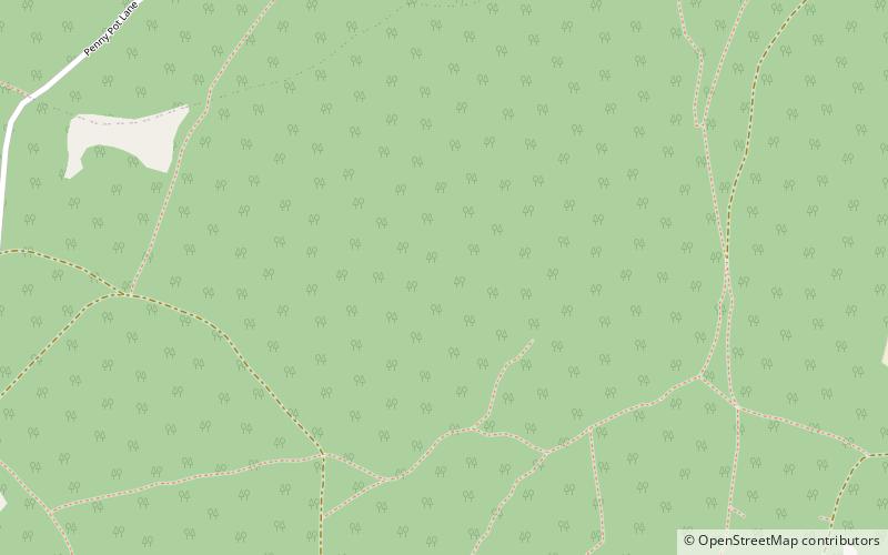
Denge Wood is a wood located 8 miles southwest of Canterbury in Kent, England. The wood is owned by the Forestry Commission and the Woodland Trust. Part of the wood is also privately owned. Much of Denge Wood is classified as ancient semi-natural woodland suggesting it has been in existence since at least 1600AD and probably longer. ()
Coordinates: 51°13'35"N, 1°0'34"E
Location
England
ContactAdd
Social media
Add
Day trips
Denge Wood – popular in the area (distance from the attraction)
Nearby attractions include: St Lawrence Ground, Stour Valley Walk, Dane John Mound, Canterbury Castle.


