St Peter's Church, Birmingham
Map

Map

Facts and practical information
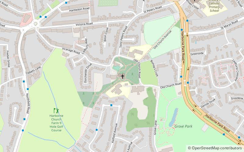
Saint Peter's is the ancient parish church of Harborne, Birmingham, England. ()
Coordinates: 52°27'12"N, 1°57'32"W
Day trips
St Peter's Church – popular in the area (distance from the attraction)
Nearby attractions include: Birmingham Botanical Gardens, Lapworth Museum of Geology, Joseph Chamberlain Memorial Clock Tower, Selly Oak Park.
Frequently Asked Questions (FAQ)
Which popular attractions are close to St Peter's Church?
Nearby attractions include Harborne, Birmingham (13 min walk), Queen's Park, Birmingham (17 min walk), St Faith and St Laurence's Church, Birmingham (22 min walk), Weoley Castle, Birmingham (22 min walk).
How to get to St Peter's Church by public transport?
The nearest stations to St Peter's Church:
Train
Bus
Train
- University (25 min walk)
- Selly Oak (33 min walk)
Bus
- Sr • Lines: 63 (30 min walk)
- Bristol Rd / Dawlish Rd • Lines: 63 (31 min walk)


