Weoley Castle, Birmingham
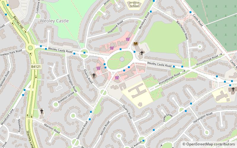
Map

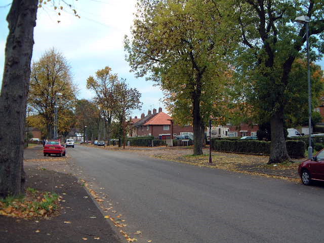
Gallery

Facts and practical information
Weoley Castle is a residential suburban district in south-west Birmingham, England. The area is part of the Weoley local authority electoral ward, and also comes under the Northfield local council constituency. The suburb of Weoley Castle is bordered by Selly Oak to the east, Harborne to the north, Bartley Green to the west, and Weoley Hill and Shenley Fields to the south. ()
Coordinates: 52°26'13"N, 1°58'12"W
Address
Weoley Castle SqWeoleyBirmingham B29
ContactAdd
Social media
Add
Day trips
Weoley Castle – popular in the area (distance from the attraction)
Nearby attractions include: Selly Oak Park, Senneleys Park, Woodbrooke, Weoley Castle.
Frequently Asked Questions (FAQ)
Which popular attractions are close to Weoley Castle?
Nearby attractions include Weoley, Birmingham (6 min walk), St Gabriel's Church, Birmingham (7 min walk), Church of Our Lady and St Rose of Lima, Birmingham (9 min walk), Weoley Castle, Birmingham (11 min walk).
How to get to Weoley Castle by public transport?
The nearest stations to Weoley Castle:
Bus
Bus
- Bristol Road South / Bournville Lane • Lines: 63 (25 min walk)


