Senneleys Park, Birmingham
Map

Map

Facts and practical information
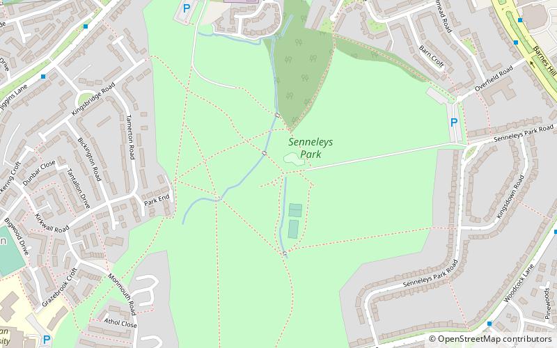
Senneleys Park is a public park located in Bartley Green, Birmingham, containing large open spaces, hedgerows and a tree-lined stream. ()
Elevation: 525 ft a.s.l.Coordinates: 52°26'14"N, 1°59'8"W
Address
Bartley GreenBirmingham
ContactAdd
Social media
Add
Day trips
Senneleys Park – popular in the area (distance from the attraction)
Nearby attractions include: Weoley Castle, Frankley Reservoir, St Leonard's Church, St Peter's Church.
Frequently Asked Questions (FAQ)
Which popular attractions are close to Senneleys Park?
Nearby attractions include St Gabriel's Church, Birmingham (12 min walk), Weoley, Birmingham (12 min walk), Weoley Castle, Birmingham (17 min walk), Bartley Reservoir, Birmingham (20 min walk).
How to get to Senneleys Park by public transport?
The nearest stations to Senneleys Park:
Bus
Bus
- Bristol Road South / Whitehill Lane • Lines: 63 (38 min walk)


