Jubilee Greenway, London
Map

Gallery

Facts and practical information
The Jubilee Greenway is a walking and cycling route in London, England. It was completed in 2012 to mark the Diamond Jubilee of Elizabeth II. The 60 kilometres route of continuous paths links 2012 Olympic and Paralympic venues with parks, waterways and other attractions. ()
Length: 37.28 miSeason: All yearCoordinates: 51°30'2"N, 0°3'54"W
Address
Southwark (Riverside)London
ContactAdd
Social media
Add
Day trips
Jubilee Greenway – popular in the area (distance from the attraction)
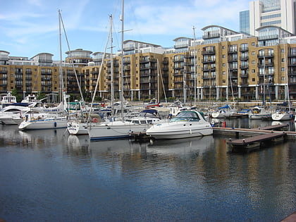
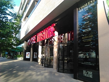
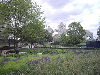
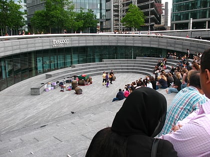
Nearby attractions include: Tower Bridge, City Hall, St. Katharine Docks, Bridge Theatre.
Frequently Asked Questions (FAQ)
Which popular attractions are close to Jubilee Greenway?
Nearby attractions include King's Stairs Gardens, London (9 min walk), Shad Thames, London (10 min walk), St. Mary's Church, London (13 min walk), Bermondsey Town Hall, London (13 min walk).
How to get to Jubilee Greenway by public transport?
The nearest stations to Jubilee Greenway:
Metro
Train
Ferry
Bus
Light rail
Metro
- Bermondsey • Lines: Jubilee (5 min walk)
- Canada Water • Lines: Jubilee (18 min walk)
Train
- Wapping (13 min walk)
- Rotherhithe (15 min walk)
Ferry
- Saint Katharine's Pier • Lines: Blue Tour, Green Tour (14 min walk)
- Tower Millennium Pier • Lines: Rb1, Rb1X, Rb2, Red Tour (20 min walk)
Bus
- Druid Street • Lines: 42 (15 min walk)
- Alscot Road • Lines: 1, 78, N1 (16 min walk)
Light rail
- Tower Gateway Platform 2 • Lines: Tg-B (20 min walk)
- Shadwell Platform 2 • Lines: B-L, B-Wa, Tg-B (23 min walk)

 Tube
Tube


