Greenbank Cricket Ground, Bristol
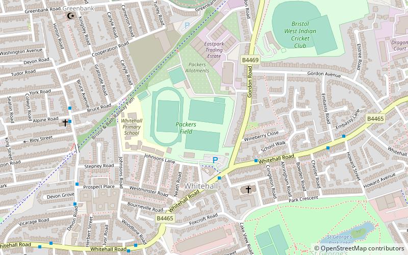
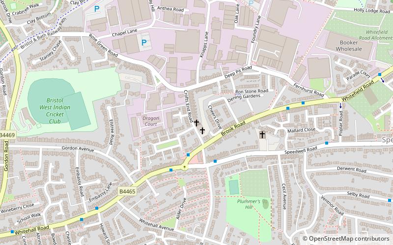
Map
Facts and practical information
Greenbank is a cricket ground in Bristol. The ground was initially owned by H.J. Packer and Co Ltd. The first first-class match on the ground was in 1922, when Gloucestershire played Sussex. Gloucestershire played first-class matches at the ground from 1922 to 1928, playing a total of 20 first-class matches there, the last of which saw them play Derbyshire in the 1928 County Championship. ()
Coordinates: 51°27'54"N, 2°33'8"W
Address
EastonBristol
ContactAdd
Social media
Add
Getting there by public transportation
Public transportation stops near this location
- Bus
- Train
 Bus
Bus
- Calculate routeBlackswarth Road 10 min walk
- Calculate routeSeneca Street 11 min walk
- Calculate routeNorthcote Road 11 min walk
- Calculate routeGilbert Road 12 min walk
- Calculate routeStapleton Road 16 min walk
- Calculate routeLawrence Hill 18 min walk
Day trips


Frequently Asked Questions (FAQ)
Which popular attractions are close to Greenbank Cricket Ground?
Nearby attractions include St George's Park, Bristol (8 min walk), Redfield, Bristol (11 min walk), Crofts End Church, Bristol (12 min walk), Easton Jamia Masjid, Bristol (15 min walk).
How to get to Greenbank Cricket Ground by public transport?
The nearest stations to Greenbank Cricket Ground:
Bus
Train
Bus
- Blackswarth Road • Lines: 43 (10 min walk)
- Seneca Street • Lines: 43 (11 min walk)
Train
- Stapleton Road (16 min walk)
- Lawrence Hill (18 min walk)