Cheam Cricket Club Ground, London
Map
Facts and practical information
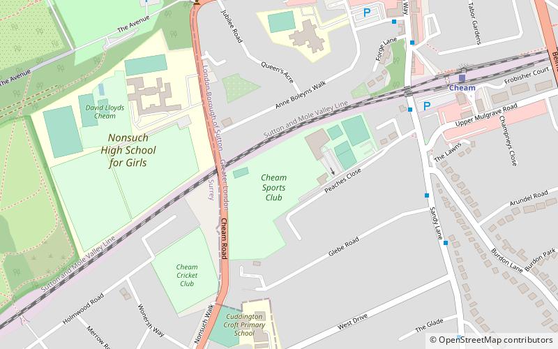
Cheam Cricket Club Ground is a cricket ground in Cheam, London. The first recorded match on the ground was in 1940, when Cheam played London Counties. Cheam CC was one of the founding members of the Surrey Championship and the club was established in 1864. ()
Coordinates: 51°21'14"N, 0°13'13"W
Address
Sutton (Cheam)London
ContactAdd
Social media
Add
Getting there by public transportation
Public transportation stops near this location
- Bus
- Train
 Bus
Bus
- Calculate routeHail & Ride Peaches Close 5 min walk
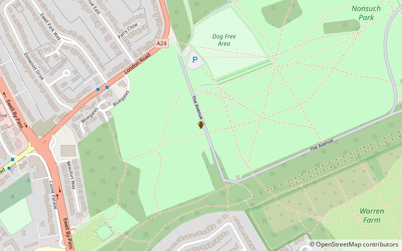
- Calculate routeNonsuch Park 7 min walk
- Calculate routeCheam 7 min walk
- Calculate routeEwell East 28 min walk
- Calculate routeWest Sutton 28 min walk
- Calculate routeBelmont 30 min walk
Maps Tube
Tube
TubeDay trips


Frequently Asked Questions (FAQ)
Which popular attractions are close to Cheam Cricket Club Ground?
Nearby attractions include Whitehall, London (11 min walk), Nonsuch Mansion, Epsom (13 min walk), Lumley Chapel, Banstead (13 min walk), Cheam, London (16 min walk).
How to get to Cheam Cricket Club Ground by public transport?
The nearest stations to Cheam Cricket Club Ground:
Bus
Train
Bus
- Hail & Ride Peaches Close • Lines: 470 (5 min walk)
- Nonsuch Park • Lines: 470 (7 min walk)
Train
- Cheam (7 min walk)
- Ewell East (28 min walk)