Crystal Palace Bowl, London
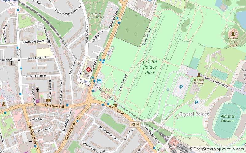
Map
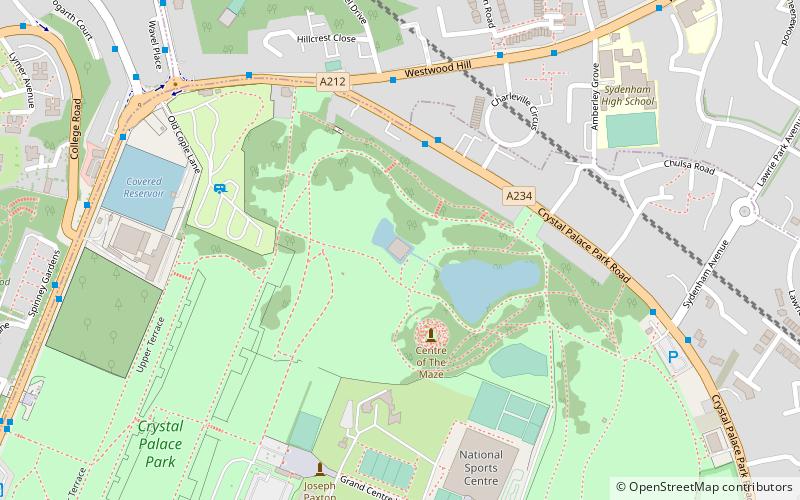
Map

Facts and practical information
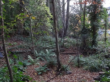
The Crystal Palace Park Concert Platform, formerly the Crystal Palace Bowl, is an outdoor stage and performance venue in Crystal Palace Park in the London Borough of Bromley. ()
Coordinates: 51°25'26"N, 0°4'9"W
Address
Bromley (Crystal Palace)London
ContactAdd
Social media
Add
Day trips
Crystal Palace Bowl – popular in the area (distance from the attraction)
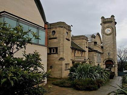
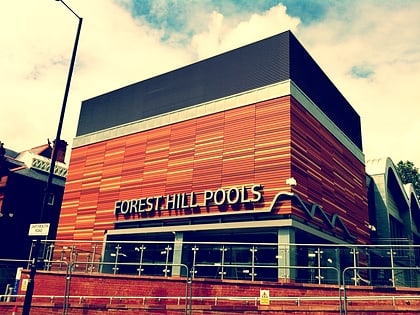
Nearby attractions include: Horniman Museum, Crystal Palace National Sports Centre, Forest Hill Pools, Dinosaur.
Frequently Asked Questions (FAQ)
Which popular attractions are close to Crystal Palace Bowl?
Nearby attractions include Crystal Palace Park, London (7 min walk), Sydenham Wells Park, London (8 min walk), Crystal Palace, London (9 min walk), Norwood Ridge, London (10 min walk).
How to get to Crystal Palace Bowl by public transport?
The nearest stations to Crystal Palace Bowl:
Bus
Train
Tram
Bus
- Crystal Palace Park Road / Westwood Hill • Lines: 227 (3 min walk)
- Crystal Palace Park Road • Lines: 122, 227, 450 (5 min walk)
Train
- Crystal Palace (12 min walk)
- Penge West (15 min walk)
Tram
- Beckenham Road • Lines: 2 (39 min walk)

 Tube
Tube