Dulwich Upper Wood, London
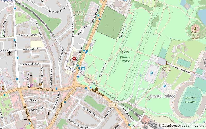
Map
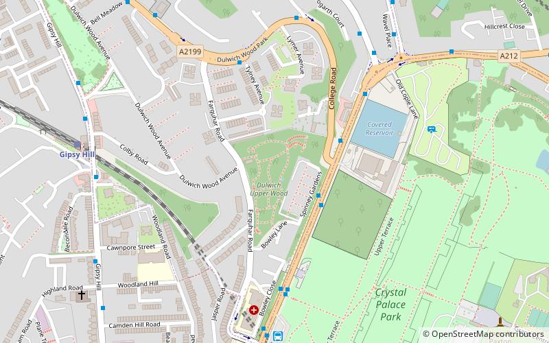
Map

Facts and practical information
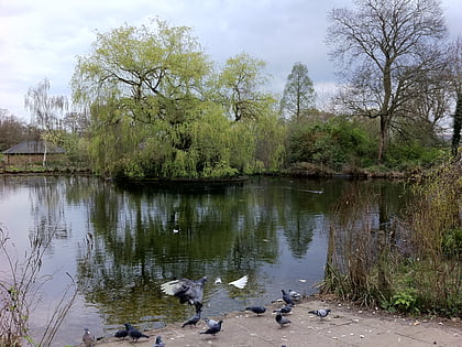
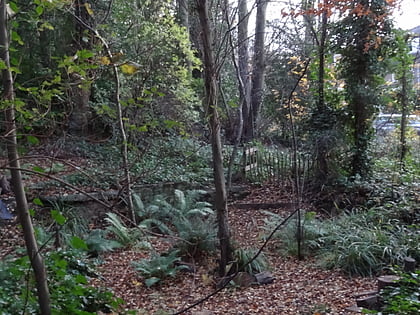
Dulwich Upper Wood is a 2.4 hectare local nature reserve and Site of Borough Importance for Nature Conservation, Grade 1, in Crystal Palace in the London Borough of Southwark. It is owned by Southwark Council and managed by the Trust for Urban Ecology. ()
Elevation: 328 ft a.s.l.Coordinates: 51°25'26"N, 0°4'40"W
Address
Southwark (Dulwich)London
ContactAdd
Social media
Add
Day trips
Dulwich Upper Wood – popular in the area (distance from the attraction)
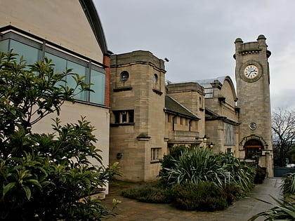
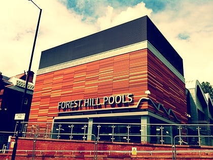
Nearby attractions include: Horniman Museum, Crystal Palace National Sports Centre, Forest Hill Pools, Dinosaur.
Frequently Asked Questions (FAQ)
Which popular attractions are close to Dulwich Upper Wood?
Nearby attractions include Norwood Ridge, London (6 min walk), Crystal Palace Bowl, London (10 min walk), Crystal Palace Park, London (11 min walk), Crystal Palace, London (11 min walk).
How to get to Dulwich Upper Wood by public transport?
The nearest stations to Dulwich Upper Wood:
Bus
Train
Bus
- Crystal Palace Parade / Fountain Drive • Lines: 122, 202, 227, 363, N63 (5 min walk)
- Fountain Drive • Lines: 450 (6 min walk)
Train
- Gipsy Hill (7 min walk)
- Crystal Palace (14 min walk)
 Tube
Tube