Betts Park, London
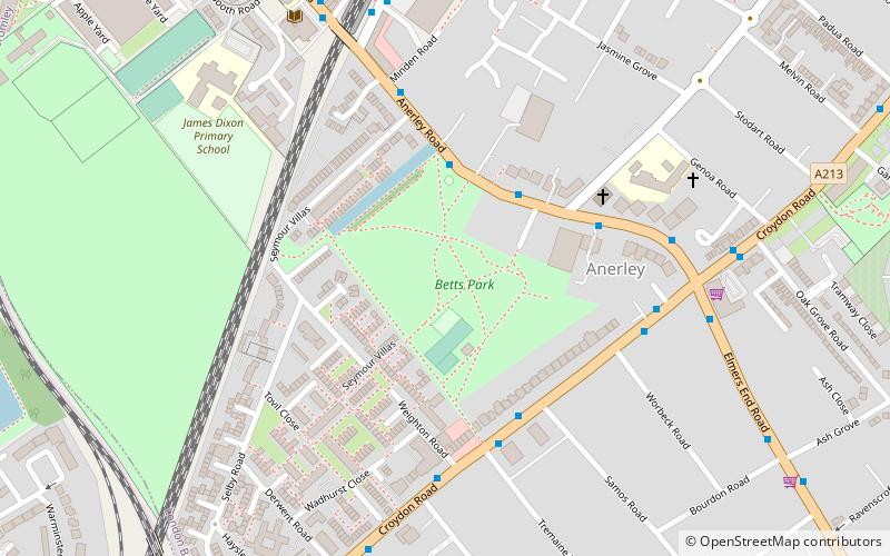
Map
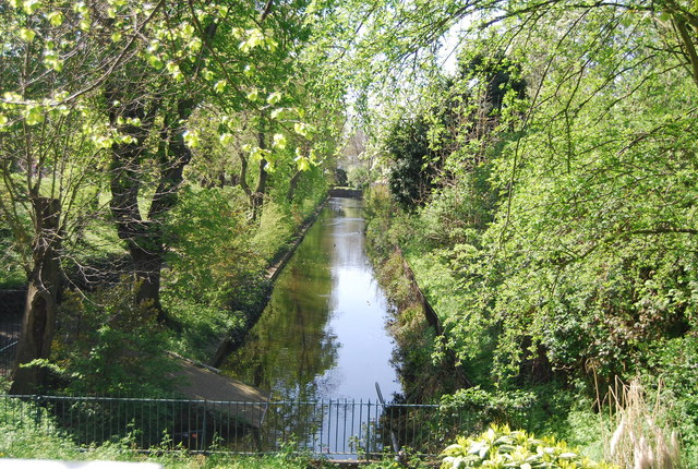
Gallery
Facts and practical information
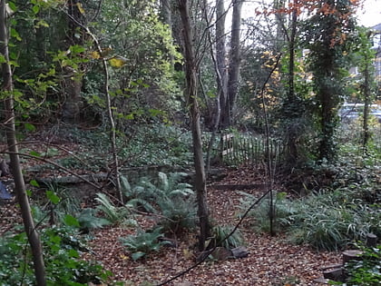
Betts Park is a public park in Penge, London Borough of Bromley, in London, England. It has a number of attractions, including part of the old Croydon Canal. It was opened in December 1928 and extended in the 1930s. ()
Elevation: 161 ft a.s.l.Coordinates: 51°24'31"N, 0°3'52"W
Address
Bromley (Anerley)London
ContactAdd
Social media
Add
Day trips
Betts Park – popular in the area (distance from the attraction)
Nearby attractions include: Selhurst Park, Crystal Palace National Sports Centre, Dinosaur, South Norwood Country Park.
Frequently Asked Questions (FAQ)
Which popular attractions are close to Betts Park?
Nearby attractions include South Norwood Lake and Grounds, London (14 min walk), Penge, London (16 min walk), Dinosaur, London (17 min walk), Crystal Palace, London (21 min walk).
How to get to Betts Park by public transport?
The nearest stations to Betts Park:
Bus
Train
Tram
Bus
- Betts Way • Lines: 157, 354, 358, N3 (3 min walk)
- Seymour Villas • Lines: 157, 354, 358, N3 (4 min walk)
Train
- Anerley (7 min walk)
- Birkbeck (13 min walk)
Tram
- Birkbeck • Lines: 2 (13 min walk)
- Harrington Road • Lines: 2 (17 min walk)

 Tube
Tube


