Norwood Ridge, London
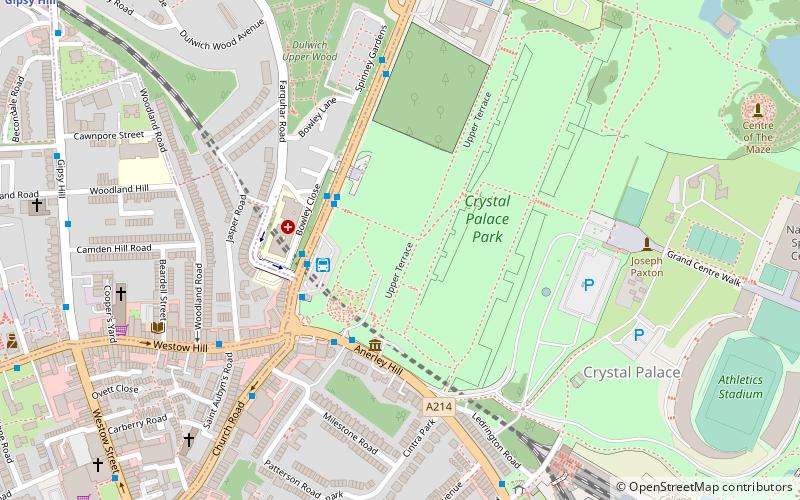
Map
Facts and practical information
The Norwood Ridge is a 10-square-mile rectangular upland which occupies the geographical centre of south London, centred 5 miles south of London Bridge. Beneath its topsoil it is a ridge of London Clay that is capped on all sides with remaining natural gravel deposits mixed with some sandy soil, which in the South Thames basin is a material known as the Claygate Beds. ()
Coordinates: 51°25'16"N, 0°4'34"W
Address
Bromley (Crystal Palace)London
ContactAdd
Social media
Add
Day trips
Norwood Ridge – popular in the area (distance from the attraction)
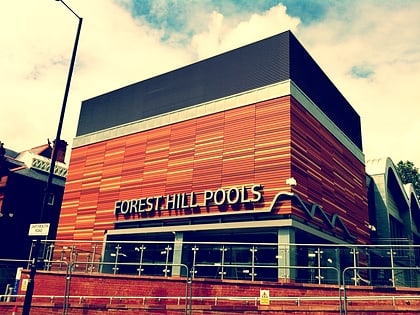
Nearby attractions include: Crystal Palace National Sports Centre, Forest Hill Pools, Dinosaur, West Norwood Cemetery.
Frequently Asked Questions (FAQ)
Which popular attractions are close to Norwood Ridge?
Nearby attractions include Dulwich Upper Wood, London (6 min walk), Crystal Palace, London (7 min walk), Crystal Palace Park, London (7 min walk), Crystal Palace Bowl, London (10 min walk).
How to get to Norwood Ridge by public transport?
The nearest stations to Norwood Ridge:
Bus
Train
Tram
Bus
- Crystal Palace Bus Station (3 min walk)
- Crystal Palace Park • Lines: 157, 249, 358, 410, 432, N3 (3 min walk)
Train
- Crystal Palace (8 min walk)
- Gipsy Hill (11 min walk)
Tram
- Avenue Road • Lines: 2 (39 min walk)
 Tube
Tube
