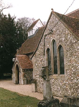
Cholesbury Camp

Gallery (2)
Map
Map
Gallery
Facts and practical information
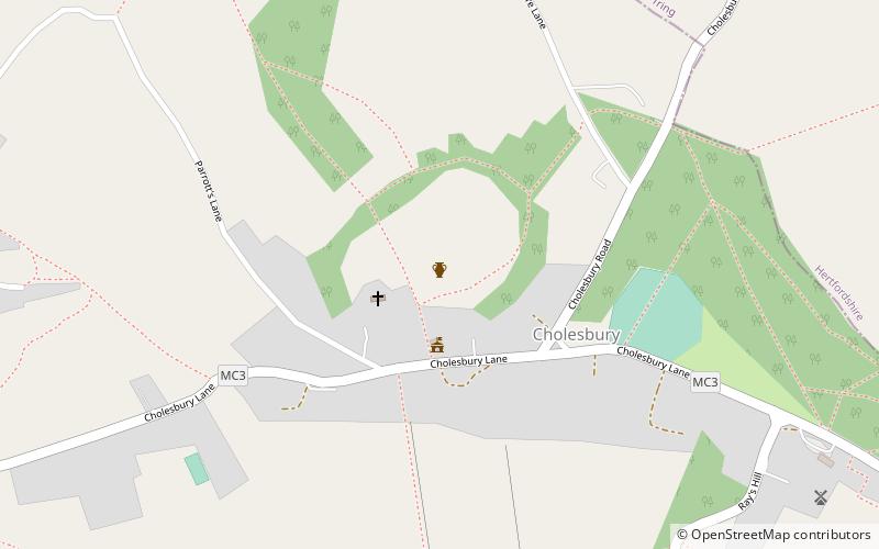
Cholesbury Camp is a large and well-preserved Iron Age hill fort on the northern edge of the village of Cholesbury in Buckinghamshire, England. It is roughly oval-shaped and covers an area, including ramparts, of 15 acres, and measures approximately 310 m north-east to south-west by 230 m north-west to south-east. The interior is a fairly level plateau which has been in agricultural use since the medieval period. The hill fort is now a scheduled ancient monument. ()
Coordinates: 51°45'21"N, 0°39'14"W
Location
England
ContactAdd
Social media
Add
Day trips


